Na Ah Tee, Arizona | |
|---|---|
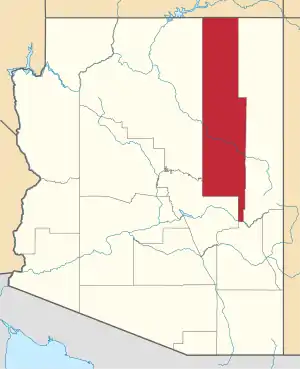
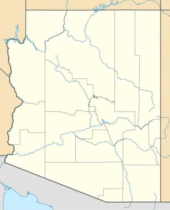 Na Ah Tee Location within the state of Arizona  Na Ah Tee Na Ah Tee (the United States) | |
| Coordinates: 35°29′25″N 110°08′40″W / 35.49028°N 110.14444°W | |
| Country | United States |
| State | Arizona |
| County | Navajo |
| Elevation | 6,263 ft (1,909 m) |
| Time zone | UTC-7 (Mountain (MST)) |
| • Summer (DST) | UTC-7 (MST) |
| Area code | 928 |
| FIPS code | 04-48300 |
| GNIS feature ID | 24523 |
Na Ah Tee, historically also known as Na-Ah-Tee Canyon, Na-a-tih Trading Post, and Na-at-tee Canyon, is a populated place situated in Navajo County, Arizona, United States.[2] It has an estimated elevation of 6,263 feet (1,909 m) above sea level.[1]
References
- 1 2 "Feature Detail Report for: Na Ah Tee". Geographic Names Information System. United States Geological Survey, United States Department of the Interior.
- ↑ "Na Ah Tee (in Navajo County, AZ) Populated Place Profile". AZ Hometown Locator. Retrieved December 30, 2016.
This article is issued from Wikipedia. The text is licensed under Creative Commons - Attribution - Sharealike. Additional terms may apply for the media files.