Turkey Creek, Arizona | |
|---|---|
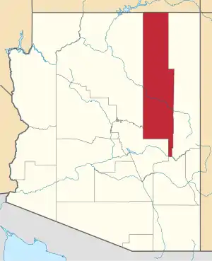
 Location of Turkey Creek in Navajo County, Arizona. | |
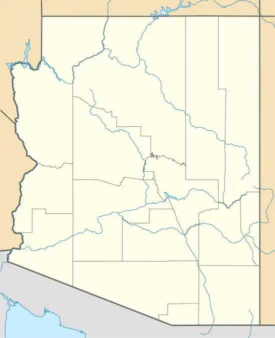 Turkey Creek, Arizona Location in the United States | |
| Coordinates: 33°48′04″N 109°56′46″W / 33.80111°N 109.94611°W | |
| Country | United States |
| State | Arizona |
| County | Navajo |
| Area | |
| • Total | 0.82 sq mi (2.13 km2) |
| • Land | 0.82 sq mi (2.13 km2) |
| • Water | 0.00 sq mi (0.00 km2) |
| Population (2020) | |
| • Total | 377 |
| • Density | 458.64/sq mi (177.15/km2) |
| Time zone | UTC-7 (MST (no DST)) |
| ZIP code | 85941[2] |
| Area code | 928 |
| FIPS code | 04-77415 |
Turkey Creek is a census-designated place in Navajo County, in the U.S. state of Arizona, on the Fort Apache Indian Reservation.[3] The population was 294 at the 2010 census.[4]
Demographics
As of the census[6] of 2010, there were 294 people, 71 households, and 56 families living in the CDP.
Transportation
The White Mountain Apache Tribe operates the Fort Apache Connection Transit, which provides local bus service.[7]
References
- ↑ "2020 U.S. Gazetteer Files". United States Census Bureau. Retrieved October 29, 2021.
- ↑ "Turkey Creek AZ ZIP Code". zipdatamaps.com. 2023. Retrieved May 3, 2023.
- ↑ U.S. Geological Survey Geographic Names Information System: Turkey Creek Census Designated Place
- ↑ "2010 Census Gazetteer Files – Places: New Mexico". U.S. Census Bureau. Retrieved February 26, 2017.
- ↑ "Census of Population and Housing". Census.gov. Retrieved June 4, 2016.
- ↑ "American FactFinder". United States Census Bureau. Archived from the original on February 13, 2020. Retrieved October 10, 2018.
- ↑ "Tribal Transportation | WMAT DOT | United States". WMAT DOT. Retrieved February 3, 2020.
This article is issued from Wikipedia. The text is licensed under Creative Commons - Attribution - Sharealike. Additional terms may apply for the media files.