Péaule
Pleaol | |
|---|---|
_-_P%C3%A9aule.jpg.webp) The entrance to the deanery | |
.svg.png.webp) Coat of arms | |
Location of Péaule | |
 Péaule 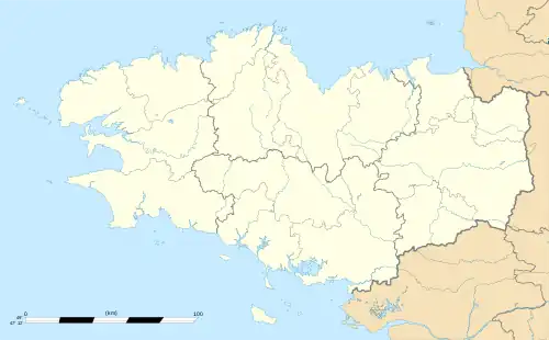 Péaule | |
| Coordinates: 47°34′57″N 2°21′18″W / 47.5825°N 2.355°W | |
| Country | France |
| Region | Brittany |
| Department | Morbihan |
| Arrondissement | Vannes |
| Canton | Muzillac |
| Intercommunality | Arc Sud Bretagne |
| Government | |
| • Mayor (2020–2026) | Jean-François Breger[1] |
| Area 1 | 39.25 km2 (15.15 sq mi) |
| Population | 2,782 |
| • Density | 71/km2 (180/sq mi) |
| Time zone | UTC+01:00 (CET) |
| • Summer (DST) | UTC+02:00 (CEST) |
| INSEE/Postal code | 56153 /56130 |
| Elevation | 0–92 m (0–302 ft) |
| 1 French Land Register data, which excludes lakes, ponds, glaciers > 1 km2 (0.386 sq mi or 247 acres) and river estuaries. | |
Péaule (French pronunciation: [peol]; Breton: Pleaol) is a commune in the Morbihan department of Brittany in north-western France.[3]
Population
| Year | Pop. | ±% p.a. |
|---|---|---|
| 1968 | 1,943 | — |
| 1975 | 1,917 | −0.19% |
| 1982 | 2,138 | +1.57% |
| 1990 | 2,188 | +0.29% |
| 1999 | 2,206 | +0.09% |
| 2007 | 2,458 | +1.36% |
| 2012 | 2,503 | +0.36% |
| 2017 | 2,682 | +1.39% |
| Source: INSEE[4] | ||
Inhabitants of Péaule are called in French Paulais.
See also
References
- ↑ "Maires du Morbihan" (PDF). Préfecture du Morbihan. 7 July 2020.
- ↑ "Populations légales 2021". The National Institute of Statistics and Economic Studies. 28 December 2023.
- ↑ INSEE commune file
- ↑ Population en historique depuis 1968, INSEE
External links
Wikimedia Commons has media related to Péaule.
- Base Mérimée: Search for heritage in the commune, Ministère français de la Culture. (in French)
- Mayors of Morbihan Association (in French)
This article is issued from Wikipedia. The text is licensed under Creative Commons - Attribution - Sharealike. Additional terms may apply for the media files.