Saint-Gravé
Sant-Gravez | |
|---|---|
.svg.png.webp) Coat of arms | |
Location of Saint-Gravé | |
 Saint-Gravé 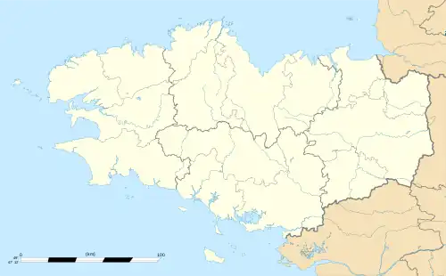 Saint-Gravé | |
| Coordinates: 47°43′36″N 2°16′46″W / 47.7267°N 2.2794°W | |
| Country | France |
| Region | Brittany |
| Department | Morbihan |
| Arrondissement | Vannes |
| Canton | Questembert |
| Government | |
| • Mayor (2020–2026) | Dominique Bonne[1] |
| Area 1 | 15.75 km2 (6.08 sq mi) |
| Population | 728 |
| • Density | 46/km2 (120/sq mi) |
| Time zone | UTC+01:00 (CET) |
| • Summer (DST) | UTC+02:00 (CEST) |
| INSEE/Postal code | 56218 /56220 |
| Elevation | 2–91 m (6.6–298.6 ft) |
| 1 French Land Register data, which excludes lakes, ponds, glaciers > 1 km2 (0.386 sq mi or 247 acres) and river estuaries. | |
Saint-Gravé (French pronunciation: [sɛ̃ ɡʁave]; Breton: Sant-Gravez) is a commune in the Morbihan department of Brittany in northwestern France.[3]
Geography
The canal de Nantes à Brest forms part of the commune's northern border; the river Arz forms all of its southern border.
Demographics
Inhabitants of Saint-Gravé are called Gravéens in French.
See also
References
- ↑ "Maires du Morbihan" (PDF). Préfecture du Morbihan. 7 July 2020.
- ↑ "Populations légales 2021". The National Institute of Statistics and Economic Studies. 28 December 2023.
- ↑ INSEE commune file
External links
Wikimedia Commons has media related to Saint-Gravé.
- Official website (in French)
- Mayors of Morbihan Association (in French)
This article is issued from Wikipedia. The text is licensed under Creative Commons - Attribution - Sharealike. Additional terms may apply for the media files.