Palmas Del Espino Airport | |||||||||||
|---|---|---|---|---|---|---|---|---|---|---|---|
| Summary | |||||||||||
| Airport type | Public | ||||||||||
| Owner | Palmas del Espino S.A. | ||||||||||
| Elevation AMSL | 1,625 ft / 495 m | ||||||||||
| Coordinates | 8°20′40″S 76°29′22″W / 8.34444°S 76.48944°W | ||||||||||
| Map | |||||||||||
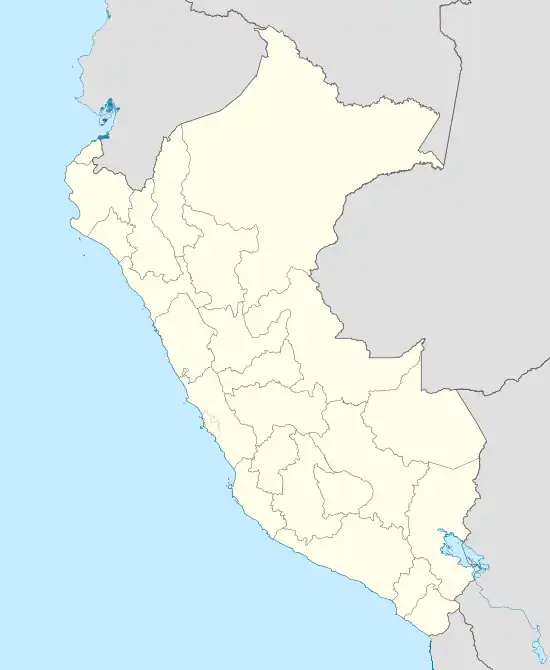 SPPN Location of the airport in Peru | |||||||||||
| Runways | |||||||||||
| |||||||||||
Palmas Del Espino Airport (ICAO: SPPN) is an airport serving the oil palm plantations of Palmas del Espino S.A.[3] in the San Martín Region of Peru. The airport is midway between the towns of Tocache and Uchiza.
See also
References
- ↑ Airport information for Palmas Del Espino Airport at Great Circle Mapper.
- ↑ Google Maps - Palmas Del Espino
- ↑ Palmas Group (Spanish)
External links
- OpenStreetMap - Palmas Del Espino
- OurAirports - Palmas Del Espino
- SkyVector - Palmas Del Espino
- Palmas Del Espino Airport
- Palmas del Espino S.A. Company profile
- Accident history for Palmas Del Espino Airport at Aviation Safety Network
This article is issued from Wikipedia. The text is licensed under Creative Commons - Attribution - Sharealike. Additional terms may apply for the media files.