Pusztaszabolcs | |
|---|---|
 Aerial view | |
 Coat of arms | |
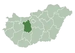
 Pusztaszabolcs Location of Pusztaszabolcs | |
| Coordinates: 47°08′29″N 18°45′34″E / 47.14127°N 18.75940°E | |
| Country | |
| County | Fejér |
| District | Dunaújváros |
| Area | |
| • Total | 51.67 km2 (19.95 sq mi) |
| Population (2015) | |
| • Total | 5,904[1] |
| Time zone | UTC+1 (CET) |
| • Summer (DST) | UTC+2 (CEST) |
| Postal code | 2490 |
| Area code | (+36) 25 |
| Website | www |
Sights
- Reformed church
- Roman Catholic church
- MÁV 375 series steam locomotive
Twin towns – sister cities
Pusztaszabolcs is twinned with:
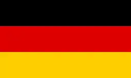 Staufenberg, Germany
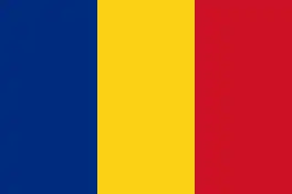 Dorobanți, Romania
Gallery
.jpg.webp) First World War monument
First World War monument Map of Pusztaszabolcs from the First Military Mapping Survey of the Austrian Empire.
 Map of Pusztaszabolcs from the Second Military Mapping Survey of the Austrian Empire.
 Map of Pusztaszabolcs from the Third Military Mapping Survey of the Austrian Empire.
References
- ↑ Gazetteer of Hungary, 1 January 2015. Hungarian Central Statistical Office.
External links
Wikimedia Commons has media related to Pusztaszabolcs.
- Official website in Hungarian
- Street map (in Hungarian)
| City with county rights (1) |
| |
|---|---|---|
| Towns (3) | ||
| Large villages (3) | ||
| Villages (9) | ||
| Cities with county rights |
|   |
|---|---|---|
| Towns | ||
| Large villages | ||
| Villages |
| |
| Other topics |
| |
This article is issued from Wikipedia. The text is licensed under Creative Commons - Attribution - Sharealike. Additional terms may apply for the media files.