Saint-Étienne-de-Chigny | |
|---|---|
 The church of Saint-Étienne, in Saint-Étienne-de-Chigny | |
.svg.png.webp) Coat of arms | |
Location of Saint-Étienne-de-Chigny | |
 Saint-Étienne-de-Chigny 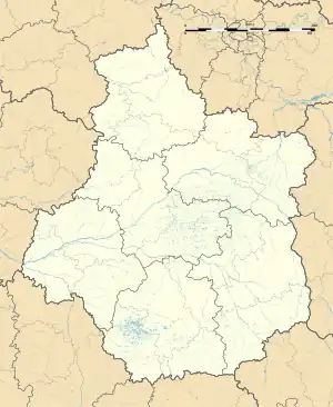 Saint-Étienne-de-Chigny | |
| Coordinates: 47°22′15″N 0°31′01″E / 47.3708°N 0.5169°E | |
| Country | France |
| Region | Centre-Val de Loire |
| Department | Indre-et-Loire |
| Arrondissement | Tours |
| Canton | Saint-Cyr-sur-Loire |
| Intercommunality | Tours Métropole Val de Loire |
| Government | |
| • Mayor (2020–2026) | Régis Salic[1] |
| Area 1 | 21.11 km2 (8.15 sq mi) |
| Population | 1,614 |
| • Density | 76/km2 (200/sq mi) |
| Time zone | UTC+01:00 (CET) |
| • Summer (DST) | UTC+02:00 (CEST) |
| INSEE/Postal code | 37217 /37230 |
| Elevation | 37–108 m (121–354 ft) |
| 1 French Land Register data, which excludes lakes, ponds, glaciers > 1 km2 (0.386 sq mi or 247 acres) and river estuaries. | |
Saint-Étienne-de-Chigny (French pronunciation: [sɛ̃.t‿etjɛn də ʃiɲi] ⓘ) is a commune in the Indre-et-Loire department in central France.[3]
Population
| Year | Pop. | ±% p.a. |
|---|---|---|
| 1968 | 692 | — |
| 1975 | 607 | −1.85% |
| 1982 | 846 | +4.86% |
| 1990 | 1,164 | +4.07% |
| 1999 | 1,321 | +1.42% |
| 2007 | 1,364 | +0.40% |
| 2012 | 1,442 | +1.12% |
| 2017 | 1,606 | +2.18% |
| Source: INSEE[4] | ||
See also
References
- ↑ "Répertoire national des élus: les maires" (in French). data.gouv.fr, Plateforme ouverte des données publiques françaises. 4 May 2022.
- ↑ "Populations légales 2021". The National Institute of Statistics and Economic Studies. 28 December 2023.
- ↑ INSEE commune file
- ↑ Population en historique depuis 1968, INSEE
Wikimedia Commons has media related to Saint-Étienne-de-Chigny.
This article is issued from Wikipedia. The text is licensed under Creative Commons - Attribution - Sharealike. Additional terms may apply for the media files.