Sekake Airport | |||||||||||
|---|---|---|---|---|---|---|---|---|---|---|---|
| Summary | |||||||||||
| Airport type | Public | ||||||||||
| Serves | Sekake | ||||||||||
| Elevation AMSL | 5,700 ft / 1,737 m | ||||||||||
| Coordinates | 30°02′20″S 28°22′13″E / 30.03889°S 28.37028°E | ||||||||||
| Map | |||||||||||
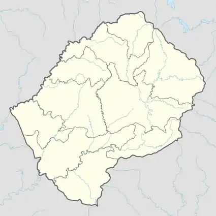 SKQ Location of the airport in Lesotho | |||||||||||
| Runways | |||||||||||
| |||||||||||
Sekake Airport (IATA: SKQ, ICAO: FXSK) is an airport serving the village of Sekake, Lesotho.
The airstrip sits atop a mesa with steep dropoffs at both ends.
The Google Map link has Sekake village labelled with its community council name of ′Patlong′[3]
See also
References
- ↑ Airport information for SKQ at Great Circle Mapper.
- ↑ Google Maps - Sekake
- ↑ "ESDAC - European Commission". eusoils.jrc.ec.europa.eu. Retrieved 2018-08-21.
External links
- Sekake Airport
- OurAirports - Sekake
- OpenStreetMap - Sekakes
- Google Earth
This article is issued from Wikipedia. The text is licensed under Creative Commons - Attribution - Sharealike. Additional terms may apply for the media files.