Seshutes Airport | |||||||||||
|---|---|---|---|---|---|---|---|---|---|---|---|
| Summary | |||||||||||
| Airport type | Public | ||||||||||
| Serves | Seshote | ||||||||||
| Elevation AMSL | 7,000 ft / 2,134 m | ||||||||||
| Coordinates | 29°15′55″S 28°33′20″E / 29.26528°S 28.55556°E | ||||||||||
| Map | |||||||||||
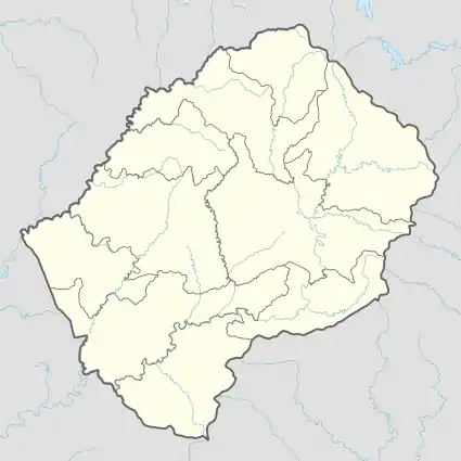 SHZ Location of the airport in Lesotho | |||||||||||
| Runways | |||||||||||
| |||||||||||
Seshutes Airport (IATA: SHZ, ICAO: FXSS) or Seshote Airport is an airport serving the village of Seshote in Leribe District, Lesotho.
High terrain off both runway ends may require an angling approach.
See also
References
- ↑ Airport information for SHZ at Great Circle Mapper.
- ↑ Google Maps - Seshutes
- ↑ "Airline and Airport Code Search". IATA. Retrieved 13 April 2016.
External links
This article is issued from Wikipedia. The text is licensed under Creative Commons - Attribution - Sharealike. Additional terms may apply for the media files.