Sepahua Airport | |||||||||||
|---|---|---|---|---|---|---|---|---|---|---|---|
| Summary | |||||||||||
| Airport type | Public | ||||||||||
| Serves | Sepahua (es), Peru | ||||||||||
| Elevation AMSL | 1,000 ft / 305 m | ||||||||||
| Coordinates | 11°08′35″S 73°02′00″W / 11.14306°S 73.03333°W | ||||||||||
| Map | |||||||||||
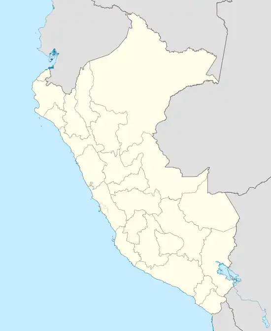 SPSE Location of the airport in Peru | |||||||||||
| Runways | |||||||||||
| |||||||||||
Sepahua Airport (ICAO: SPSE) is an airport serving the village of Sepahua (es) in the Ucayali Region of Peru.
The airport is at the confluence of the Sepahua River into the Urubamba River.
See also
References
- ↑ Airport information for Sepahua Airport at Great Circle Mapper.
- ↑ Google Maps - Sepahua
External links
- OpenStreetMap - Sepahua
- OurAirports - Sepahua
- SkyVector - Sepahua
- Sepahua Airport
- Accident history for Sepahua Airport at Aviation Safety Network
This article is issued from Wikipedia. The text is licensed under Creative Commons - Attribution - Sharealike. Additional terms may apply for the media files.