Sonora, Arizona | |
|---|---|
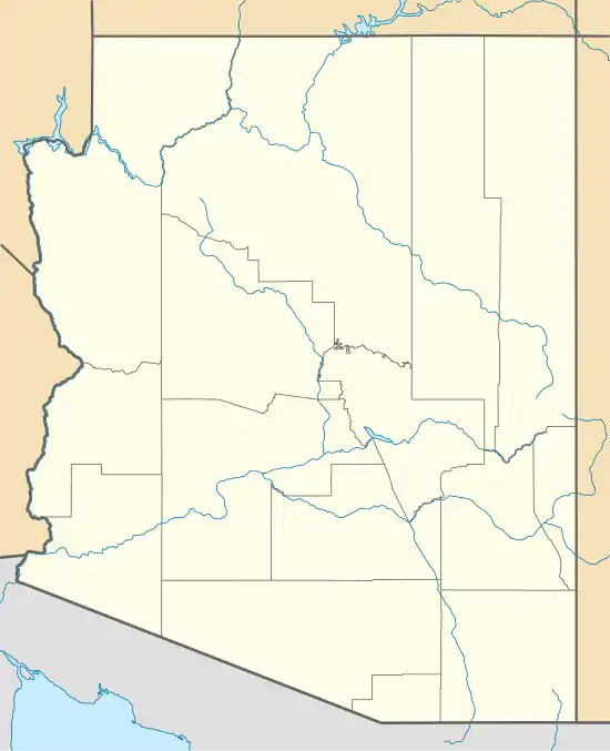 Sonora Location within the state of Arizona  Sonora Sonora (the United States) | |
| Coordinates: 33°09′55″N 110°59′45″W / 33.16528°N 110.99583°W | |
| Country | United States |
| State | Arizona |
| County | Pinal |
| Elevation | 2,293 ft (699 m) |
| Time zone | UTC-7 (Mountain (MST)) |
| • Summer (DST) | UTC-7 (MST) |
| Area code | 520 |
| FIPS code | 04-68290 |
| GNIS feature ID | 11551 |
Sonora was a community in Pinal County, Arizona, until its residents were moved to Kearny, Arizona and the site was demolished to expand the Ray mine.[2] It has an estimated elevation of 2,293 feet (699 m) above sea level.[1]
References
- 1 2 "Feature Detail Report for: Sonora". Geographic Names Information System. United States Geological Survey, United States Department of the Interior.
- ↑ "Kearny – Pinal County". www.pinalcountyaz.gov. Retrieved December 21, 2020.
External links
 Media related to Sonora, Arizona at Wikimedia Commons
- Sonora – ghosttowns.com
Municipalities and communities of Pinal County, Arizona, United States | ||
|---|---|---|
| Cities | 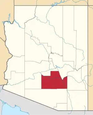 | |
| Towns | ||
| CDPs |
| |
| Populated places | ||
| Indian reservations | ||
| Ghost towns | ||
| Footnotes | ‡This populated place also has portions in an adjacent county or counties | |
This article is issued from Wikipedia. The text is licensed under Creative Commons - Attribution - Sharealike. Additional terms may apply for the media files.