Val d'Oust | |
|---|---|
.JPG.webp) The Nantes-Brest Canal | |
Location of Val d'Oust | |
 Val d'Oust 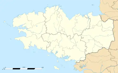 Val d'Oust | |
| Coordinates: 47°51′54″N 2°26′56″W / 47.865°N 2.449°W | |
| Country | France |
| Region | Brittany |
| Department | Morbihan |
| Arrondissement | Pontivy |
| Canton | Moréac |
| Government | |
| • Mayor (2020–2026) | Florence Prunet[1] |
| Area 1 | 31.81 km2 (12.28 sq mi) |
| Population | 2,790 |
| • Density | 88/km2 (230/sq mi) |
| Time zone | UTC+01:00 (CET) |
| • Summer (DST) | UTC+02:00 (CEST) |
| INSEE/Postal code | 56197 /56460 |
| 1 French Land Register data, which excludes lakes, ponds, glaciers > 1 km2 (0.386 sq mi or 247 acres) and river estuaries. | |
Val d'Oust (French pronunciation: [val dust], literally Vale of Oust; Breton: Traoñ-an-Oud) is a commune in the Morbihan department of western France, named after the river Oust. Le Roc-Saint-André is the municipal seat. The municipality was established on 1 January 2016 and consists of the former communes of Le Roc-Saint-André, Quily and La Chapelle-Caro.[3]
Population
| Year | Pop. | ±% p.a. |
|---|---|---|
| 1968 | 1,897 | — |
| 1975 | 1,909 | +0.09% |
| 1982 | 2,137 | +1.62% |
| 1990 | 2,248 | +0.63% |
| 1999 | 2,300 | +0.25% |
| 2007 | 2,530 | +1.20% |
| 2012 | 2,612 | +0.64% |
| 2017 | 2,705 | +0.70% |
| Source: INSEE[4] | ||
See also
References
Wikimedia Commons has media related to Val d'Oust.
- ↑ "Maires du Morbihan" (PDF). Préfecture du Morbihan. 7 July 2020.
- ↑ "Populations légales 2021". The National Institute of Statistics and Economic Studies. 28 December 2023.
- ↑ Arrêté préfectoral 24 December 2015 (in French)
- ↑ Population en historique depuis 1968, INSEE
This article is issued from Wikipedia. The text is licensed under Creative Commons - Attribution - Sharealike. Additional terms may apply for the media files.