Bjervamoen
Lunde | |
|---|---|
Village | |
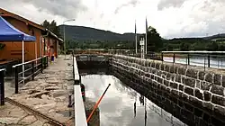 View of the locks in Bjervamoen | |
 Bjervamoen Location of the village 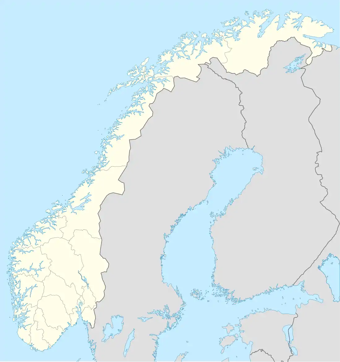 Bjervamoen Bjervamoen (Norway) | |
| Coordinates: 59°17′54″N 9°06′21″E / 59.29839°N 9.1057°E | |
| Country | Norway |
| Region | Eastern Norway |
| County | Vestfold og Telemark |
| District | Midt-Telemark |
| Municipality | Nome Municipality |
| Area | |
| • Total | 1.59 km2 (0.61 sq mi) |
| Elevation | 78 m (256 ft) |
| Population (2022)[1] | |
| • Total | 1,471 |
| • Density | 927/km2 (2,400/sq mi) |
| Time zone | UTC+01:00 (CET) |
| • Summer (DST) | UTC+02:00 (CEST) |
| Post Code | 3825 Lunde |
Bjervamoen or Lunde is a village in Nome Municipality in Vestfold og Telemark county, Norway. The village is located along the river Straumen, about 10 kilometres (6.2 mi) west of the village of Ulefoss, about 10 kilometres (6.2 mi) east of Flåbygd, and about 15 kilometres (9.3 mi) south of Bø i Telemark. The village is located along the Telemark Canal and the Sørlandsbanen railway line.[3]
The 1.59-square-kilometre (390-acre) village has a population (2022) of 1,471 and a population density of 927 inhabitants per square kilometre (2,400/sq mi).[1]
The village was the administrative centre of the old municipality of Lunde which existed until 1964. Since then, the village area has also been informally known as "Lunde". Lunde Church is located in the village.[3]
References
- 1 2 3 Statistisk sentralbyrå (1 January 2022). "Urban settlements. Population and area, by municipality".
- ↑ "Bjervamoen, Nome". yr.no. Retrieved 2 September 2023.
- 1 2 Lundbo, Sten, ed. (28 December 2022). "Bjervamoen". Store norske leksikon (in Norwegian). Kunnskapsforlaget. Retrieved 2 September 2023.