Flåbygd | |
|---|---|
Village | |
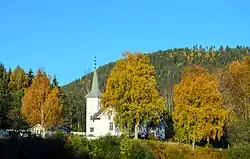 View of the village church | |
 Flåbygd Location of the village 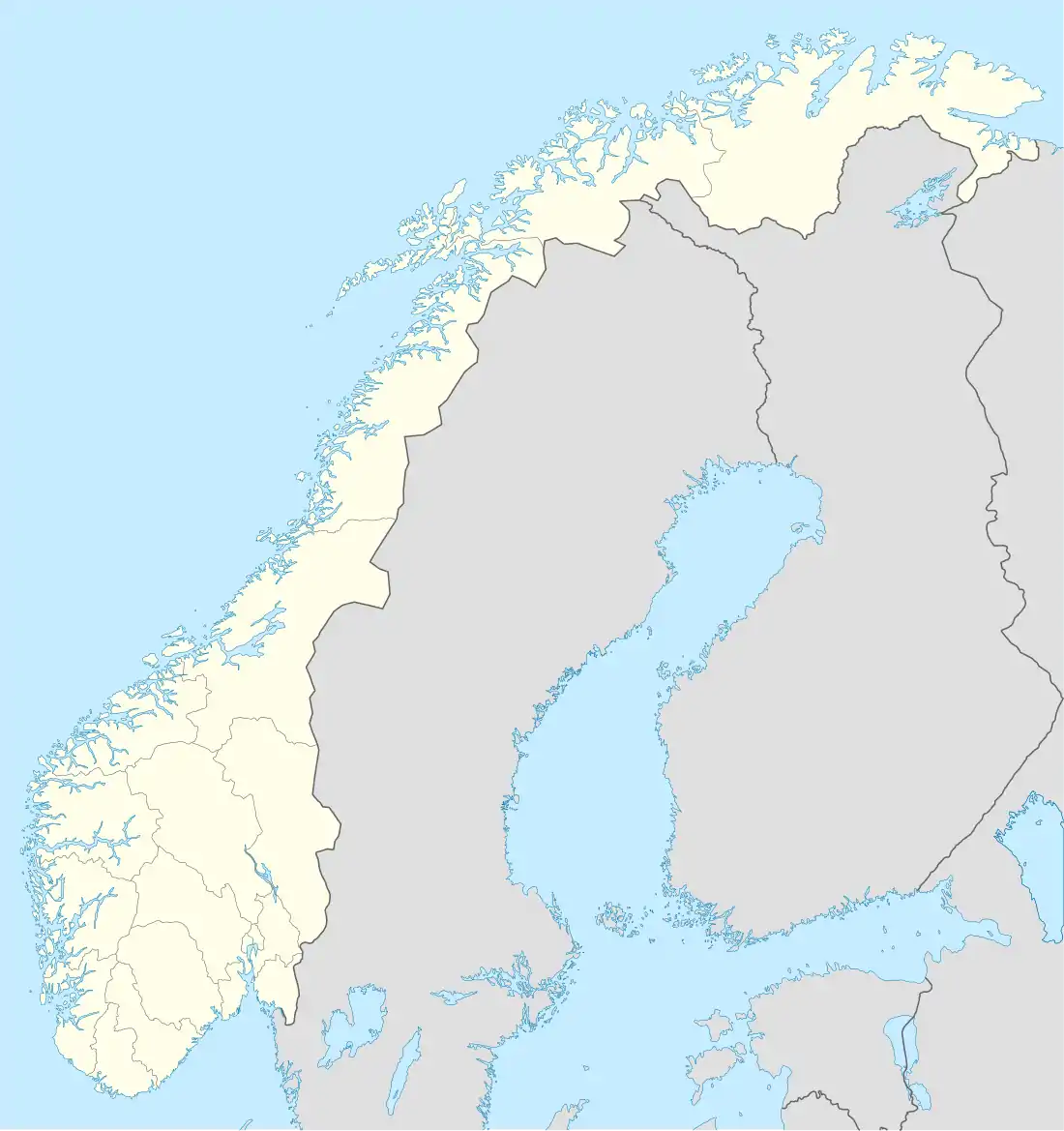 Flåbygd Flåbygd (Norway) | |
| Coordinates: 59°19′00″N 9°00′00″E / 59.31667°N 9°E | |
| Country | Norway |
| Region | Eastern Norway |
| County | Vestfold og Telemark |
| District | Midt-Telemark |
| Municipality | Nome Municipality |
| Elevation | 144 m (472 ft) |
| Time zone | UTC+01:00 (CET) |
| • Summer (DST) | UTC+02:00 (CEST) |
| Post Code | 3825 Lunde |
Flåbygd is a village in Nome Municipality in Vestfold og Telemark county, Norway. The village is located at the eastern end of the lake Flåvatn.[2] The village of Bjervamoen lies about 10 kilometres (6.2 mi) to the east and the village of Kilen is located about 15 kilometres (9.3 mi) to the west (in Kviteseid Municipality). Flåbygd Church is located in the village. The local economy is centered on agriculture.
References
- ↑ "Flåbygd, Nome". yr.no. Retrieved 2 September 2023.
- ↑ Lundbo, Sten; Mæhlum, Lars, eds. (24 May 2023). "Flåvatn". Store norske leksikon (in Norwegian). Kunnskapsforlaget. Retrieved 2 September 2023.
This article is issued from Wikipedia. The text is licensed under Creative Commons - Attribution - Sharealike. Additional terms may apply for the media files.