Cachan | |
|---|---|
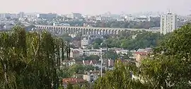
 Cachan in the foreground, with the Medici Aqueduct in the background, and Paris beyond | |
 Coat of arms | |
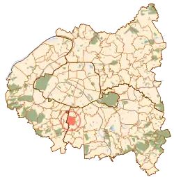
 Paris and inner ring departments | |
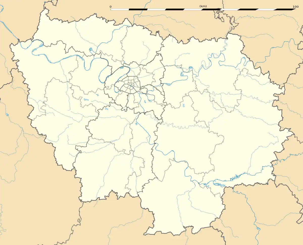
Location of Cachan | |
 Cachan  Cachan | |
| Coordinates: 48°47′31″N 2°19′55″E / 48.7919°N 2.3319°E | |
| Country | France |
| Region | Île-de-France |
| Department | Val-de-Marne |
| Arrondissement | L'Haÿ-les-Roses |
| Canton | Cachan |
| Intercommunality | Grand Paris |
| Government | |
| • Mayor (2020–2026) | Hélène de Comarmond[1] (PS) |
| Area 1 | 2.78 km2 (1.07 sq mi) |
| Population | 30,592 |
| • Density | 11,000/km2 (29,000/sq mi) |
| Time zone | UTC+01:00 (CET) |
| • Summer (DST) | UTC+02:00 (CEST) |
| INSEE/Postal code | 94016 /94230 |
| Elevation | 43–108 m (141–354 ft) |
| 1 French Land Register data, which excludes lakes, ponds, glaciers > 1 km2 (0.386 sq mi or 247 acres) and river estuaries. | |
Cachan (French pronunciation: [kaʃɑ̃] ⓘ) is a commune in the southern suburbs of Paris, France. It is located 6.7 km (4.2 mi) from the center of Paris.
The prestigious École Spéciale des Travaux Publics is located there.
Name
During the Middle Ages, Cachan was referred to in Medieval Latin texts as Caticantum, later corrupted into Cachentum, Cachant, and then Cachan. Some understand Caticantum as meaning "singing of the cat", "mewing of the cat", but this is not certain. Some others see a connection with the verb "to hunt" (captiare in Vulgar Latin, chacier in Old French).
History
Cachan was originally a hamlet within the commune of Arcueil, later renamed Arcueil-Cachan. The commune of Cachan was created on 26 December 1922 when it seceded from the commune of Arcueil-Cachan, which was renamed back to Arcueil.
Population
|
| ||||||||||||||||||||||||||||||||||||||||||||||||
| Source: EHESS[3] and INSEE (1968-2017)[4] | |||||||||||||||||||||||||||||||||||||||||||||||||
Neighboring communes
- Arcueil - north
- Villejuif - east
- L'Haÿ-les-Roses - southeast
- Bourg-la-Reine - southwest
- Bagneux - west
Transport
Cachan is served by two stations on Paris RER line B: Arcueil–Cachan and Bagneux.
Education
Primary schools:[5]
- Six public preschools (écoles maternelles): Belle Image, Carnot, Coteau, Paul-Doumer, La Plaine, and Pont-Royal
- Five public elementaries: Belle Image, Carnot, Coteau, Paul-Doumer, La Plaine
- One private preschool and elementary: École Saint-Joseph
Secondary schools:[6]
- Public junior high schools: Collège Victor-Hugo and Collège Paul-Bert
- Private junior high: Collège Saint-Joseph
- Public high schools/sixth-form colleges: Lycée Gustave Eiffel, Lycée Maximilien Sorre, Le foyer de Cachan
See also
- Communes of the Val-de-Marne department
- École normale supérieure Paris-Saclay
- François Bazin (sculptor)Sculptor Cachan War Memorial
References
- ↑ "Répertoire national des élus: les maires" (in French). data.gouv.fr, Plateforme ouverte des données publiques françaises. 13 September 2022.
- ↑ "Populations légales 2021". The National Institute of Statistics and Economic Studies. 28 December 2023.
- ↑ Des villages de Cassini aux communes d'aujourd'hui: Commune data sheet Cachan, EHESS (in French).
- ↑ Population en historique depuis 1968, INSEE
- ↑ "Les établissements scolaires ." Cachan. Retrieved on September 7, 2016.
- ↑ "Etablissements secondaires ." Cachan. Retrieved on September 7, 2016.
External links