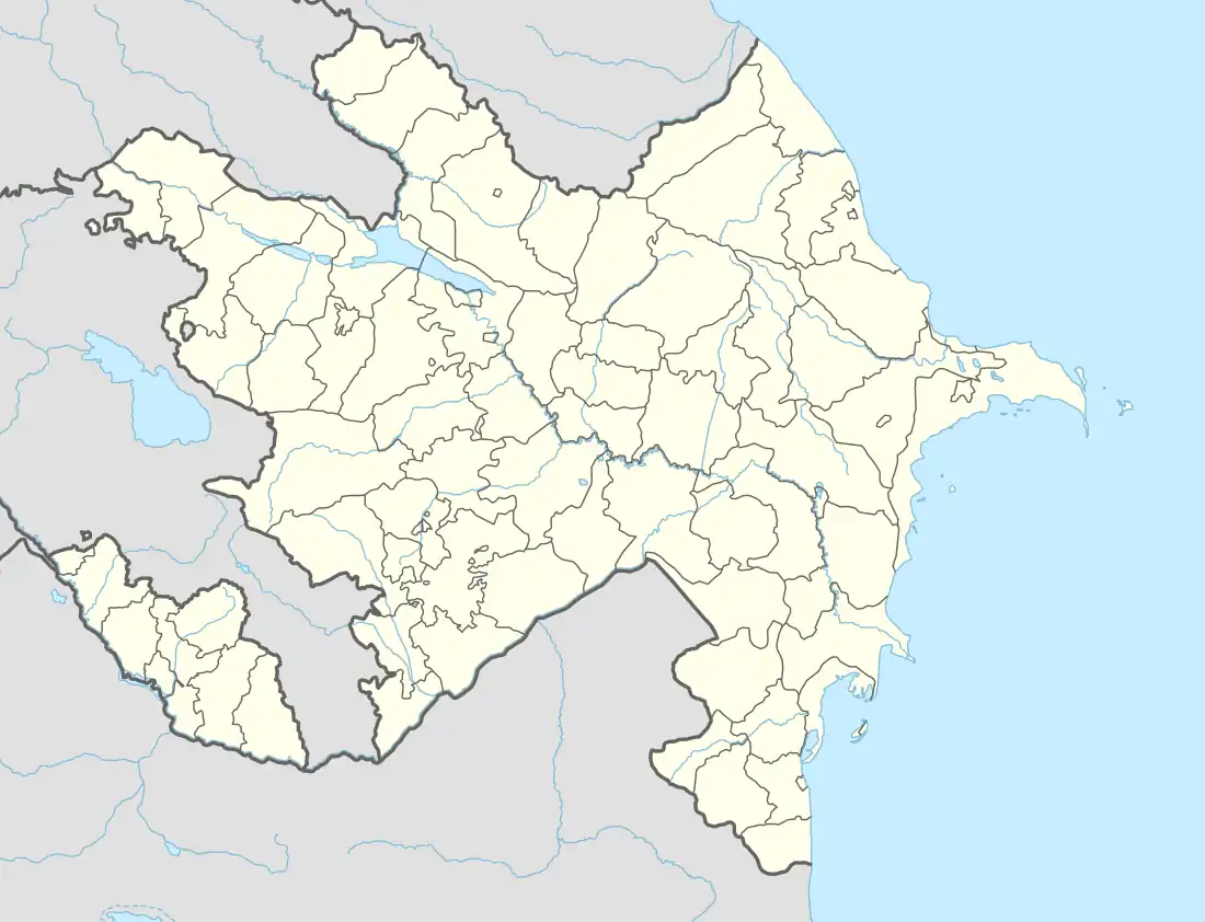
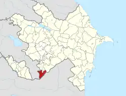
39°09′19″N 46°28′32″E / 39.15528°N 46.47556°E
Canbar | |
|---|---|
 Canbar | |
| Coordinates: 39°09′19″N 46°28′32″E / 39.15528°N 46.47556°E | |
| Country | |
| Rayon | Zangilan |
| Time zone | UTC+4 (AZT) |
| • Summer (DST) | UTC+5 (AZT) |
Canbar (also, Dzhanbar) is a village in the Zangilan Rayon of Azerbaijan.[1][2]
References
- ↑ "Canbar GeoNames Additional Attributes". geonames.nga.mil. Retrieved 2018-01-22.
- ↑ "Canbar, Azerbaijan - Geographical Names, map, geographic coordinates". geographic.org. Retrieved 2018-01-22.
This article is issued from Wikipedia. The text is licensed under Creative Commons - Attribution - Sharealike. Additional terms may apply for the media files.
