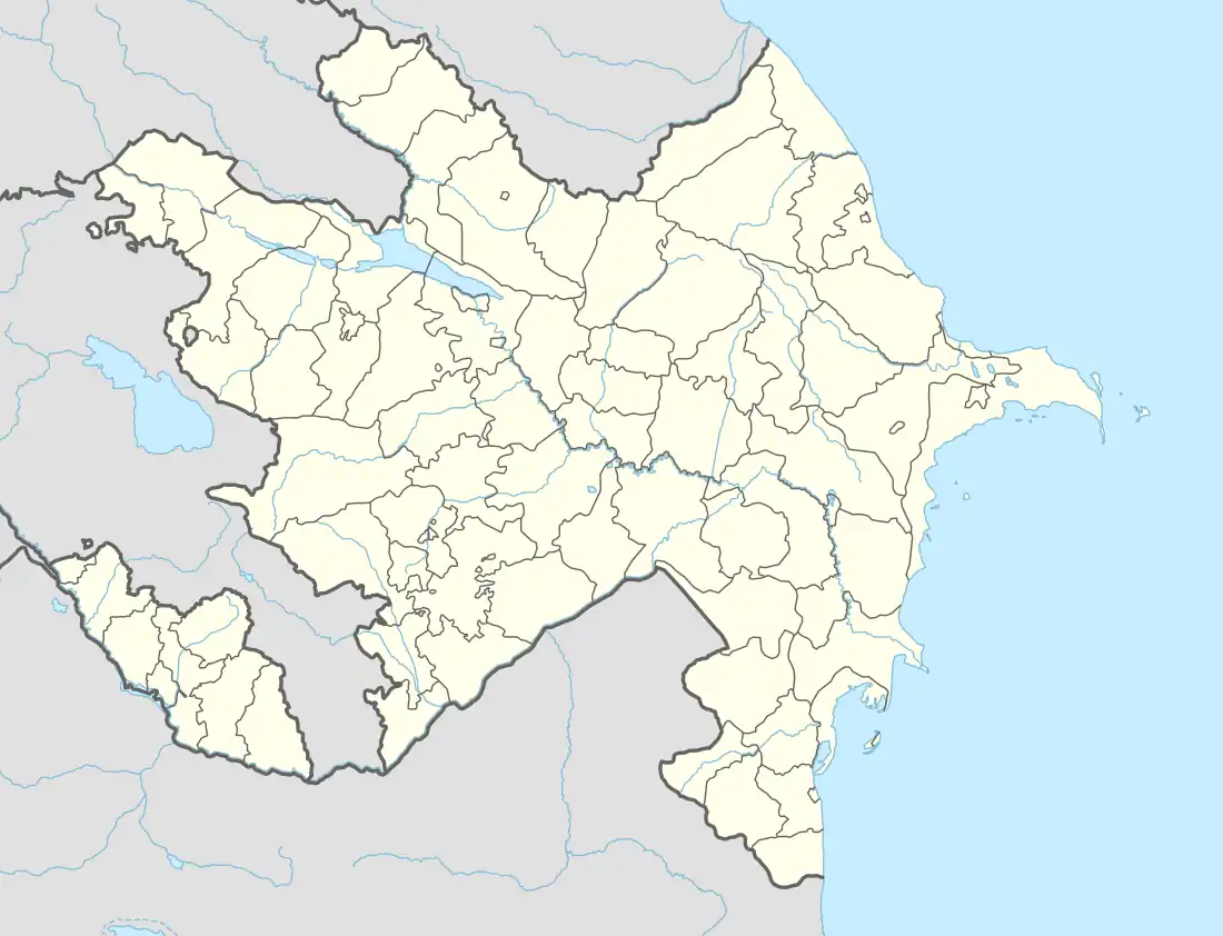
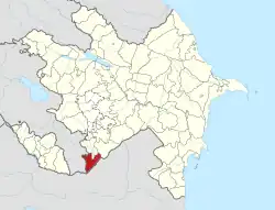
39°02′07″N 46°45′08″E / 39.03528°N 46.75222°E
Tiri | |
|---|---|
 Tiri | |
| Coordinates: 39°02′07″N 46°45′08″E / 39.03528°N 46.75222°E | |
| Country | |
| District | Zangilan |
| Time zone | UTC+4 (AZT) |
| • Summer (DST) | UTC+5 (AZT) |
Tiri is a village in the Zangilan District of Azerbaijan, lying close to the Araz River which forms the border between Azerbaijan and Iran.
History
The village was located in the Armenian-occupied territories surrounding Nagorno-Karabakh, coming under the control of ethnic Armenian forces during the First Nagorno-Karabakh War in 1993.
The village subsequently became part of the self-proclaimed Republic of Artsakh as part of its Kashatagh Province.
It was recaptured by Azerbaijan during the 2020 Nagorno-Karabakh war.[1] Subsequently, Azerbaijani Ministry of Defence published a video from the village, showing the ruined state of the village following its occupation.[2][3]
References
This article is issued from Wikipedia. The text is licensed under Creative Commons - Attribution - Sharealike. Additional terms may apply for the media files.
