Churwa | |
|---|---|
Village | |
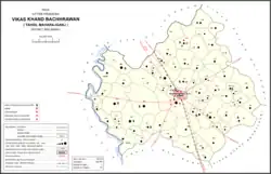 Map showing Churwa (#793) in Bachhrawan CD block | |
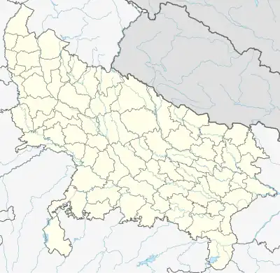 Churwa Location in Uttar Pradesh, India | |
| Coordinates: 26°30′39″N 81°04′01″E / 26.510837°N 81.066871°E[1] | |
| Country India | |
| State | Uttar Pradesh |
| District | Raebareli |
| Area | |
| • Total | 3.22 km2 (1.24 sq mi) |
| Population (2011)[2] | |
| • Total | 1,661 |
| • Density | 520/km2 (1,300/sq mi) |
| Languages | |
| • Official | Hindi |
| Time zone | UTC+5:30 (IST) |
| Vehicle registration | UP-35 |
Churwa is a village in Bachhrawan block of Rae Bareli district, Uttar Pradesh, India.[2] It is located 6 km from Bachhrawan, the block headquarters, and the main staple foods are wheat and rice.[3] As of 2011, its population is 1,661, in 323 households.[2]
The 1961 census recorded Churwa (as "Churuwa") as comprising 5 hamlets, with a total population of 790 people (405 male and 384 female), in 121 households and 110 physical houses.[4] The area of the village was given as 704 acres.[4]
The 1981 census recorded Churwa as having a population of 1,008 people, in 192 households, and having an area of 291.78 hectares.[3]
References
- ↑ "Geographic Names Search WebApp". Search for "Churwa" here.
- 1 2 3 4 "Census of India 2011: Uttar Pradesh District Census Handbook - Rae Bareli, Part A (Village and Town Directory)" (PDF). Census 2011 India. pp. 74–90. Retrieved 27 July 2021.
- 1 2 Census 1981 Uttar Pradesh: District Census Handbook Part XIII-A: Village & Town Directory, District Rae Bareli (PDF). 1982. pp. 26–7. Retrieved 27 July 2021.
- 1 2 Census 1961: District Census Handbook, Uttar Pradesh (39 - Raebareli District) (PDF). Lucknow. 1965. pp. x-xi of section "Maharajganj Tahsil". Retrieved 27 July 2021.
{{cite book}}: CS1 maint: location missing publisher (link)
This article is issued from Wikipedia. The text is licensed under Creative Commons - Attribution - Sharealike. Additional terms may apply for the media files.