Ciciliano | |
|---|---|
| Comune di Ciciliano | |
Location of Ciciliano | |
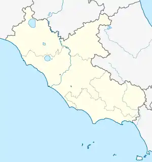
 Ciciliano Location of Ciciliano in Italy  Ciciliano Ciciliano (Lazio) | |
| Coordinates: 41°58′N 12°56′E / 41.967°N 12.933°E | |
| Country | Italy |
| Region | Lazio |
| Metropolitan city | Rome (RM) |
| Government | |
| • Mayor | Massimiliano Calore |
| Area | |
| • Total | 18.85 km2 (7.28 sq mi) |
| Elevation | 619 m (2,031 ft) |
| Population (30 June 2017)[2] | |
| • Total | 1,318 |
| • Density | 70/km2 (180/sq mi) |
| Demonym | Cicilianesi or Cicilianelli |
| Time zone | UTC+1 (CET) |
| • Summer (DST) | UTC+2 (CEST) |
| Postal code | 00020 |
| Dialing code | 0774 |
| Website | Official website |
Ciciliano is a comune (municipality) in the Metropolitan City of Rome in the Italian region of Latium, located about 35 kilometres (22 mi) east of Rome.
Ciciliano borders the following municipalities: Capranica Prenestina, Castel Madama, Cerreto Laziale, Pisoniano, Sambuci, San Gregorio da Sassola.
It was most likely founded by the ancient Aniensis tribe and became the Roman town of Trebula Suffenas.
See also
References
- ↑ "Superficie di Comuni Province e Regioni italiane al 9 ottobre 2011". Italian National Institute of Statistics. Retrieved 16 March 2019.
- ↑ All demographics and other statistics: Italian statistical institute Istat.
- ↑ Ferdinand Gregorovius (10 Jun 2010). History of the City of Rome in the Middle Ages. Cambridge University Press. p. 262. ISBN 9781108015028.
External links
This article is issued from Wikipedia. The text is licensed under Creative Commons - Attribution - Sharealike. Additional terms may apply for the media files.