Cineto Romano | |
|---|---|
| Comune di Cineto Romano | |
 | |
 Coat of arms | |
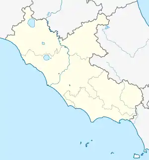
Location of Cineto Romano | |
 Cineto Romano Location of Cineto Romano in Italy  Cineto Romano Cineto Romano (Lazio) | |
| Coordinates: 42°3′N 12°58′E / 42.050°N 12.967°E | |
| Country | Italy |
| Region | Lazio |
| Metropolitan city | Rome (RM) |
| Government | |
| • Mayor | Amedeo Latini |
| Area | |
| • Total | 10.5 km2 (4.1 sq mi) |
| Elevation | 519 m (1,703 ft) |
| Population (31 December 2010)[2] | |
| • Total | 668 |
| • Density | 64/km2 (160/sq mi) |
| Demonym | Cinetesi |
| Time zone | UTC+1 (CET) |
| • Summer (DST) | UTC+2 (CEST) |
| Postal code | 00020 |
| Dialing code | 0774 |
| Patron saint | St. John the Baptist |
| Saint day | 29 August |
| Website | Official website |
Cineto Romano is a comune (municipality) in the Metropolitan City of Rome in the Italian region of Latium, located about 40 kilometres (25 mi) northeast of Rome. It was named Scarpe until 1882.
It was a fief of the Orsini in the 11th century, then of the Borghese. Main sights include the baronial Castle and the church of San Giovanni Battista (13th century).
References
- ↑ "Superficie di Comuni Province e Regioni italiane al 9 ottobre 2011". Italian National Institute of Statistics. Retrieved 16 March 2019.
- ↑ All demographics and other statistics: Italian statistical institute Istat.
This article is issued from Wikipedia. The text is licensed under Creative Commons - Attribution - Sharealike. Additional terms may apply for the media files.