Coronado, Kansas | |
|---|---|
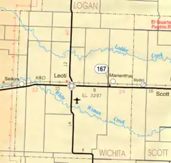
 KDOT map of Wichita County (legend) | |
 Coronado  Coronado | |
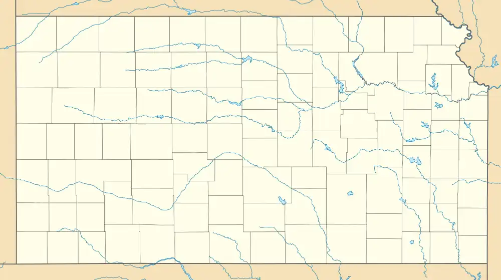
| Coordinates: 38°29′09″N 101°18′17″W / 38.48583°N 101.30472°W[1] | |
| Country | United States |
| State | Kansas |
| County | Wichita |
| Elevation | 3,271 ft (997 m) |
| Time zone | UTC-6 (CST) |
| • Summer (DST) | UTC-5 (CDT) |
| Area code | 620 |
| FIPS code | 20-15775 |
| GNIS ID | 484561[1] |
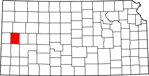
Coronado is an unincorporated community in Wichita County, Kansas, United States.[1] It is located a couple of miles east of Leoti.
History
Platted in 1885, Coronado was involved in one of the bloodiest county seat fight in the history of the American West. The shoot-out on February 27, 1887, with boosters—some would say hired gunmen—from nearby Leoti left several people dead and wounded.[2][3] Afterwards numerous famous lawmen from Dodge City, which included Wyatt Earp and Bat Masterson, gathered to calm the storm that ensued after the bloody fight. A small town called Farmer City, which was located between Coronado and Leoti, was hoped by some to become the county seat—which would end the fighting. Leoti later won the right to become the county seat and now the other two towns consist mainly of farmland.
Coronado had a post office from 1886 until 1899.[4]
References
- 1 2 3 4 U.S. Geological Survey Geographic Names Information System: Coronado, Kansas
- ↑ "8 Wonders of Wichita County". Wichita County, KS: Wichita County. Archived from the original on September 24, 2019. Retrieved September 24, 2019.
- ↑ "County Seat History of Wichita County, Kansas". Retrieved September 24, 2019.
- ↑ "Kansas Post Offices, 1828-1961". Kansas Historical Society. Archived from the original on October 9, 2013. Retrieved 27 June 2014.
Further reading
External links
- War in Wichita County (see bottom of page)
- Wichita County maps: Current, Historic, KDOT
