Courmes
| |
|---|---|
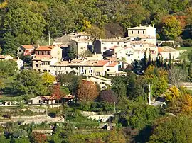
 A general view of the village | |
 Coat of arms | |
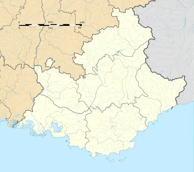
Location of Courmes | |
 Courmes  Courmes | |
| Coordinates: 43°44′37″N 7°00′35″E / 43.7436°N 7.0097°E | |
| Country | France |
| Region | Provence-Alpes-Côte d'Azur |
| Department | Alpes-Maritimes |
| Arrondissement | Grasse |
| Canton | Valbonne |
| Intercommunality | CA Sophia Antipolis |
| Government | |
| • Mayor (2020–2026) | Richard Thiery[1] |
| Area 1 | 15.71 km2 (6.07 sq mi) |
| Population | 109 |
| • Density | 6.9/km2 (18/sq mi) |
| Demonym | Courmois |
| Time zone | UTC+01:00 (CET) |
| • Summer (DST) | UTC+02:00 (CEST) |
| INSEE/Postal code | 06049 /06620 |
| Elevation | 260–1,263 m (853–4,144 ft) (avg. 630 m or 2,070 ft) |
| Website | www.courmes.fr |
| 1 French Land Register data, which excludes lakes, ponds, glaciers > 1 km2 (0.386 sq mi or 247 acres) and river estuaries. | |
Courmes (French pronunciation: [kuʁm]; Occitan: Cormes) is a commune in the Alpes-Maritimes department in the Provence-Alpes-Côte d'Azur region in Southeastern France. It is part of Préalpes d'Azur Regional Natural Park.[3] In 2020, Courmes had a population of 108.
The Loup River, which marks the western border with Gourdon, offers scenic hikes in the area, renowned for its river gorges (Gorges du Loup),[4] including around the Cascades du Saut du Loup between Courmes and Gourdon, as well as the Cascade de Courmes below.
Demographics
| Year | Pop. | ±% |
|---|---|---|
| 1962 | 18 | — |
| 1968 | 26 | +44.4% |
| 1975 | 42 | +61.5% |
| 1982 | 60 | +42.9% |
| 1990 | 64 | +6.7% |
| 1999 | 88 | +37.5% |
| 2008 | 96 | +9.1% |
See also
References
- ↑ "Répertoire national des élus: les maires" (in French). data.gouv.fr, Plateforme ouverte des données publiques françaises. 13 September 2022.
- ↑ "Populations légales 2021". The National Institute of Statistics and Economic Studies. 28 December 2023.
- ↑ (in French) Les communes du Parc, www.parc-prealpesdazur.fr.
- ↑ (in French) "À la découverte du Saut du Loup, les sublimes cascades du pays niçois", actu.fr, 23 July 2021.
Wikimedia Commons has media related to Courmes.
This article is issued from Wikipedia. The text is licensed under Creative Commons - Attribution - Sharealike. Additional terms may apply for the media files.