| Gulworthy | |
|---|---|
 The roundabout and school | |
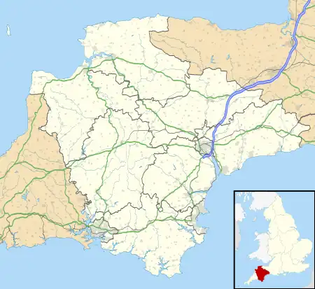 Gulworthy Location within Devon | |
| Area | 23.78 km2 (9.18 sq mi) |
| Population | 518 (2011 census) |
| • Density | 22/km2 (57/sq mi) |
| Civil parish |
|
| District | |
| Shire county | |
| Region | |
| Country | England |
| Sovereign state | United Kingdom |
Gulworthy is a hamlet[1] and civil parish in Devon, England that adjoins the border with Cornwall.[2] There are a group of buildings by the road junction Gulworthy Cross (50°32′03″N 04°11′33″W / 50.53417°N 4.19250°W) which constitute the centre of the parish. These are Gulworthy School, St Paul's Church and the Parish Hall.[3] In 2011 the parish had a population of 518.[4] However it is part of the electoral ward of Tamarside, the population of Tamarside at the 2011 census was 1,622.[5]
History
The parish was formed on 1 April 1987 from Tavistock Hamlets.[6]
References
- ↑ "Gulworthy, West Devon". Ordnance Survey. Retrieved 9 January 2018.
- ↑ "HISTORY OF GULWORTHY IN DEVON". Retrieved 28 January 2012.
- ↑ "St Paul's Gulworthy, Gulworthy". 2010. Retrieved 28 January 2012.
- ↑ "Gulworthy". City Population De. Retrieved 6 November 2021.
- ↑ "Tamarside ward population 2011". Retrieved 17 February 2015.
- ↑ "Tavistock Registration District". UKBMD. Retrieved 6 November 2021.
External links
This article is issued from Wikipedia. The text is licensed under Creative Commons - Attribution - Sharealike. Additional terms may apply for the media files.