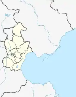
Huayuan Subdistrict
华苑街道 | |
|---|---|
.png.webp) Location of Huayuan Subdistrict in Nankai District | |
 Huayuan Subdistrict  Huayuan Subdistrict | |
| Coordinates: 39°05′05″N 117°07′12″E / 39.08472°N 117.12000°E | |
| Country | China |
| Municipality | Tianjin |
| District | Nankai |
| Village-level Divisions | 12 communities |
| Area | |
| • Total | 2.08 km2 (0.80 sq mi) |
| Elevation | 6 m (20 ft) |
| Population (2010) | |
| • Total | 52,948 |
| • Density | 25,000/km2 (66,000/sq mi) |
| Time zone | UTC+8 (China Standard) |
| Postal code | 300191 |
| Area code | 022 |
Huayuan Subdistrict (simplified Chinese: 华苑街道; traditional Chinese: 華苑街道; pinyin: Huáyuàn Jiēdào) is a subdistrict located on southwest side of Nankai District, Tianjin, China. It shares border with New Technology Industrial Park and Wangdingdi Subdistrict to the north, Tiyuzhongxin Subdistrict to the east, as well as Liqizhuang Subdistrict and Jingwu Town to the south. As of 2010, its total population was 52,948.[1]
The subdistrict was established in 1998 as Huayuannan Subdistrict, and renamed to Huayuan Subdistrict a year later. Its name literally translates to "Chinese Garden".[2]
Geography
Chentaizi Paishui River passes through the western portion of the subdistrict.
Administrative divisions
So far in 2021, Huayuan Subdistrict consists of 12 residential communities, all of which are listed in the table below:[3]
| Subdivision Names | Name Transliterations |
|---|---|
| 日华里 | Rihuali |
| 碧华里 | Bihuali |
| 天华里 | Tianhuali |
| 安华里 | Anhuali |
| 居华里 | Juhuali |
| 莹华里 | Yinghuali |
| 程华里 | Chenghuali |
| 绮华里 | Qihuali |
| 长华里 | Changhuali |
| 地华里 | Dihuali |
| 久华里 | Jiuhuali |
| 竹华里 | Zhuhuali |
References
- ↑ "China: Tiānjīn Municipal Province (Districts and Townships) - Population Statistics, Charts and Map". www.citypopulation.de. Retrieved 2022-11-05.
- ↑ 中华人民共和国政区大典:天津市卷 (in Chinese). 中国社会出版社. 2020.
- ↑ "2021年统计用区划代码和城乡划分代码". www.stats.gov.cn. Retrieved 2022-11-22.