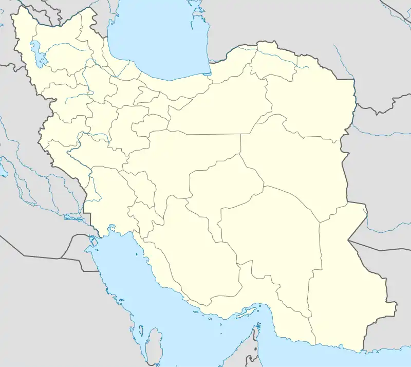
Langarud Rural District
Persian: دهستان لنگارود | |
|---|---|
 Langarud Rural District | |
| Coordinates: 36°39′00″N 51°07′12″E / 36.65000°N 51.12000°E[1] | |
| Country | Iran |
| Province | Mazandaran |
| County | Tonekabon |
| District | Abbasabad |
| Population (2006)[2] | |
| • Total | 10,839 |
| Time zone | UTC+3:30 (IRST) |
Langarud Rural District (Persian: دهستان لنگارود)[3] is a former administrative division of Abbasabad District, Tonekabon County, Mazandaran province, Iran.
At the National Census of 2006, its population was 10,839 in 2,985 households.[2]
After the census, the district was separated from the county in the establishment of Abbasabad County, which was divided into two districts of two rural districts each, with the city of Abbasabad as its capital. The name of the rural district was changed to Langarud-e Sharqi Rural District.[4]
References
- ↑ OpenStreetMap contributors (3 November 2023). "Langarud Rural District (Tonekabon County)" (Map). OpenStreetMap. Retrieved 3 November 2023.
- 1 2 "Census of the Islamic Republic of Iran, 1385 (2006)". AMAR (in Persian). The Statistical Center of Iran. p. 02. Archived from the original (Excel) on 20 September 2011. Retrieved 25 September 2022.
- ↑ Iranian National Committee for Standardization of Geographical Names website (in Persian)
- ↑ Davoodi, Parviz (3 March 2018). "Divisional reforms and changes in Mazandaran province". Qavanin (in Persian). Ministry of Interior, Cabinet of Ministers. Archived from the original on 20 May 2023. Retrieved 20 May 2023.
This article is issued from Wikipedia. The text is licensed under Creative Commons - Attribution - Sharealike. Additional terms may apply for the media files.