Laureldale, Pennsylvania | |
|---|---|
 Rosedale United Church, built in Laureldale in 1928 | |
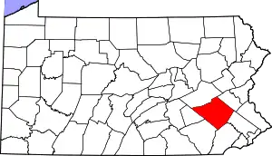
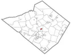 Location of Laureldale in Berks County, Pennsylvania | |
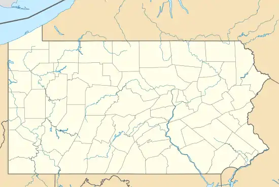 Laureldale Location in Pennsylvania  Laureldale Location in the United States | |
| Coordinates: 40°23′21″N 75°54′51″W / 40.38917°N 75.91417°W | |
| Country | United States |
| State | Pennsylvania |
| County | Berks |
| Area | |
| • Total | 0.81 sq mi (2.10 km2) |
| • Land | 0.81 sq mi (2.10 km2) |
| • Water | 0.00 sq mi (0.00 km2) |
| Elevation | 400 ft (100 m) |
| Population | |
| • Total | 4,277 |
| • Density | 5,280.25/sq mi (2,039.80/km2) |
| Time zone | UTC-5 (EST) |
| • Summer (DST) | UTC-4 (EDT) |
| ZIP Code | 19605 |
| Area codes | 610 and 484 |
| FIPS code | 42-41768 |
| Website | www |
Laureldale is a borough in Berks County, Pennsylvania, United States. The population was 4,277 at the 2020 census.
Geography
Laureldale is at 40°23′21″N 75°54′51″W / 40.38917°N 75.91417°W (40.389293, -75.914150).[3]
According to the U.S. Census Bureau, the borough has a total area of 0.8 square miles (2.1 km2), all land.
Transportation

As of 2006, there were 15.08 miles (24.27 km) of public roads in Laureldale, of which 1.91 miles (3.07 km) were maintained by the Pennsylvania Department of Transportation (PennDOT) and 13.17 miles (21.20 km) were maintained by the borough.[4]
No numbered highways pass directly through Laureldale. The main thoroughfares in the borough include Kutztown Road and Elizabeth Avenue, which intersect near the center of town. The nearest numbered highway is U.S. Route 222 Business, which passes just west of the borough.
Demographics
| Census | Pop. | Note | %± |
|---|---|---|---|
| 1940 | 3,397 | — | |
| 1950 | 3,585 | 5.5% | |
| 1960 | 4,051 | 13.0% | |
| 1970 | 4,519 | 11.6% | |
| 1980 | 4,047 | −10.4% | |
| 1990 | 3,726 | −7.9% | |
| 2000 | 3,759 | 0.9% | |
| 2010 | 3,911 | 4.0% | |
| 2020 | 4,277 | 9.4% | |
| Sources:[5][6][7][2] | |||
At the 2010 census there were 3,911 people living in the borough. The racial makeup of the borough was 86.8% White, 2.5% African American, 0.4% Native American, 0.9% Asian, 0.0% Pacific Islander, 6.8% from other races, and 2.7% from two or more races. Hispanic or Latino of any race were 16.1%.[6]
Gallery
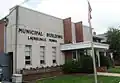 Laureldale Borough Hall
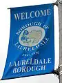 Welcome Sign
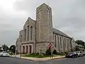 Calvary Lutheran Church (1956).
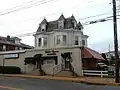 Centre Square Barbers on Kutztown Rd.
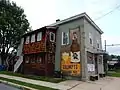 Grumpy's Bar on Elizabeth Ave.
References
- ↑ "ArcGIS REST Services Directory". United States Census Bureau. Retrieved October 12, 2022.
- 1 2 "Census Population API". United States Census Bureau. Retrieved Oct 12, 2022.
- ↑ "US Gazetteer files: 2010, 2000, and 1990". United States Census Bureau. 2011-02-12. Retrieved 2011-04-23.
- ↑ "Laureldale Borough map" (PDF). PennDOT. Retrieved March 13, 2023.
- ↑ "Census of Population and Housing". U.S. Census Bureau. Retrieved 11 December 2013.
- 1 2 "U.S. Census website". United States Census Bureau. Retrieved 2008-01-31.
- ↑ "Incorporated Places and Minor Civil Divisions Datasets: Subcounty Resident Population Estimates: April 1, 2010 to July 1, 2012". Population Estimates. U.S. Census Bureau. Archived from the original on 11 June 2013. Retrieved 11 December 2013.