Legaon | |
|---|---|
Village | |
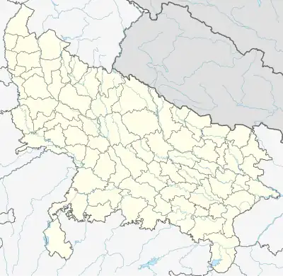 Legaon Location in Uttar Pradesh, India | |
| Coordinates: 26°59′22″N 79°21′03″E / 26.98934°N 79.35074°E | |
| Country | India |
| State | Uttar Pradesh |
| District | Mainpuri |
| Tehsil | Bhongaon |
| Area | |
| • Total | 0.952 km2 (0.368 sq mi) |
| Population (2011)[1] | |
| • Total | 1,427 |
| • Density | 1,500/km2 (3,900/sq mi) |
| Time zone | UTC+5:30 (IST) |
Legaon ( Legā̃v) is a village in Kishni block of Mainpuri district, Uttar Pradesh, India. As of 2011, it had a total population of 1,427, in 220 households.
Demographics
As of 2011, Legaon had a population of 1,427, in 220 households.[1]: 242 This population was 55.1% male (786) and 44.9% female (641). The 0-6 age group numbered 244 (148 male and 96 female), or 17.1% of the total population. 207 residents were members of Scheduled Castes, or 14.5% of the total.[2]: 166–7
The 1981 census recorded Legaon as having a population of 878 people, in 115 households.[3]: 200–1
The 1961 census recorded Legaon as comprising 1 hamlet, with a total population of 561 people (315 male and 246 female), in 105 households and 91 physical houses. The area of the village was given as 230 acres.[4]: cx
Infrastructure
As of 2011, Legaon had 1 primary school; it did not have any healthcare facilities. Drinking water was provided by hand pump; there were no public toilets. The village had a public library but no post office; there was at least some access to electricity for all purposes. Streets were made of both kachcha and pakka materials.[1]: 242–7
References
- 1 2 3 4 "Census of India 2011: Uttar Pradesh District Census Handbook - Mainpuri, Part A (Village and Town Directory)" (PDF). Census of India. Retrieved 19 June 2023.
- ↑ "Census of India 2011: Uttar Pradesh District Census Handbook - Mainpuri, Part B (Village and Town Wise Primary Census Abstract)" (PDF). Census of India. Retrieved 19 June 2023.
- ↑ Census 1981 Uttar Pradesh: District Census Handbook Part XIII-A: Village & Town Directory, District Mainpuri (PDF). 1982. Retrieved 25 July 2023.
- ↑ Census 1961: District Census Handbook, Uttar Pradesh (24 - Mainpuri District) (PDF). Lucknow. 1965. Retrieved 25 December 2021.
{{cite book}}: CS1 maint: location missing publisher (link)