| Loon Lake Mountains | |
|---|---|
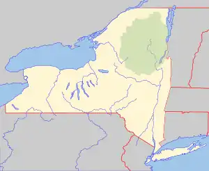
 Loon Lake Mountains Location of Loon Lake Mountains within New York  Loon Lake Mountains Loon Lake Mountains (the United States) | |
| Highest point | |
| Elevation | 3,311 feet (1,009 m)[1] |
| Coordinates | 44°33′31″N 74°09′08″W / 44.5586619°N 74.1520980°W, 44°33′24″N 74°06′47″W / 44.5567165°N 74.1129295°W[1] |
| Geography | |
| Location | Franklin County, New York, U.S. |
| Topo map | USGS Debar Mountain, Loon Lake |
Loon Lake Mountains are a pair of mountains, the tallest being 3,311-foot-tall (1,009 m), near Loon Lake in Franklin County, New York. On the summit is the Loon Lake Mountain Fire Observation Station, which was added to the National Register of Historic Places in 2015.[2]
For a long time, Loon Lake Mountain was closed to the public and only accessible via rough terrain, but a 5.9 mile round-trip trail was opened to the public in 2013[3] and is being maintained by the New York Department of Environmental Conservation.[4]
References
- 1 2 "Loon Lake Mountains". Geographic Names Information System. United States Geological Survey, United States Department of the Interior. Retrieved November 9, 2021.
- ↑ "Loon Lake Mountain Fire Tower | National Historic Lookout Register". nhlr.org. Retrieved 2018-11-16.
- ↑ "DEC Opens Trail to Loon Lake Mountain Fire Tower - Adirondack Explorer". Adirondack Explorer. 2013-10-16. Retrieved 2018-11-16.
- ↑ "Loon Lake Mountain | Saranac Lake, Adirondacks". www.saranaclake.com. Retrieved 2018-11-16.
This article is issued from Wikipedia. The text is licensed under Creative Commons - Attribution - Sharealike. Additional terms may apply for the media files.