| Morrow Mountain | |
|---|---|
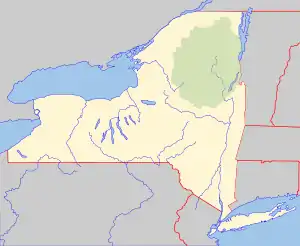
 Morrow Mountain Location of Morrow Mountain within New York  Morrow Mountain Morrow Mountain (the United States) | |
| Highest point | |
| Elevation | 2,142 feet (653 m) |
| Listing | New York County High Points 26th |
| Coordinates | 42°48′45″N 75°45′03″W / 42.812372°N 75.750947°W |
| Geography | |
| Location | Madison County, New York, U.S. |
Morrow Mountain is a 2,142-foot (653 m) mountain, and is the highest point in Madison County, New York. A 100-foot (30 m) communication tower occupies the summit. The mountain is the primary geographical feature of Morrow Mountain State Forest, a 1,290-acre (520 ha) state forest in the towns of Georgetown and Nelson.[1] The mountain is the former site of a 67-foot-6-inch-tall (20.57 m) steel fire lookout tower.
History
In 1940, the Civilian Conservation Corps Camp S-103 from DeRuyter built a 67-foot-6-inch-tall (20.57 m) International Derrick steel fire lookout tower on the mountain. Due to increased use of aerial fire detection, the tower ceased fire lookout operations at the end of 1970, and was later removed. Since then, a resident from New Hartford purchased the dismantled tower, and plans to rebuild it at their camp in Oppenheim.[2]
References
- ↑ "Morrow Mountain State Forest". NYS Department of Environmental Conservation. Retrieved May 6, 2016.
- ↑ "Searchable list of NY Fire Towers". nysffla.org. The New York State Chapter of the Forest Fire Lookout Association. Retrieved December 26, 2021.