Mawat
ماوەت ماوت | |
|---|---|
Village | |
 | |
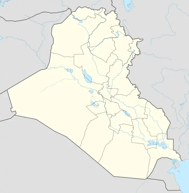
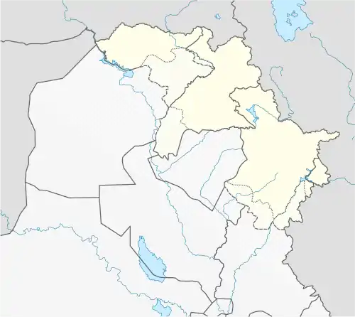
 Mawat Location in Iraq  Mawat Mawat (Iraqi Kurdistan) | |
| Coordinates: 35°54′N 45°25′E / 35.900°N 45.417°E | |
| Country | |
| Region | |
| Governorate | Sulaymaniyah Governorate |
| District | Mawat District |
| Sub-district | Mawat |
| Population (2014)[1] | |
| • Urban | 1,464 |
| • Rural | 7,235 |
Mawat (Arabic: ماوت; Sorani Kurdish: ماوەت, romanized: Mawet)[2][3] is a village and subdistrict in Sulaymaniyah Governorate in the Kurdistan Region, Iraq. It is located in Mawat District.
References
- ↑ Ali Sindi; Ramanathan Balakrishnan; Gerard Waite (July 2018). "Kurdistan Region of Iraq: Demographic Survey" (PDF). ReliefWeb. International Organization for Migration. p. 78. Retrieved 5 September 2021.
- ↑ "'Me ji Tirkiyê re hinceta bombebarankirina Çiyayên Silêmaniyê nehişt'". Rûdaw (in Kurdish). 6 January 2018. Retrieved 21 December 2019.
- ↑ "بە وێنە.. لەسنوری ماوەت چەندین دۆنم پوش و سووتا" (in Kurdish). Retrieved 21 December 2019.
This article is issued from Wikipedia. The text is licensed under Creative Commons - Attribution - Sharealike. Additional terms may apply for the media files.