Palapye Airport | |||||||||||
|---|---|---|---|---|---|---|---|---|---|---|---|
| Summary | |||||||||||
| Serves | Palapye, Botswana | ||||||||||
| Elevation AMSL | 3,000 ft / 914 m | ||||||||||
| Coordinates | 22°33′50″S 27°08′15″E / 22.56389°S 27.13750°E | ||||||||||
| Map | |||||||||||
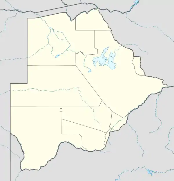 QPH Location of airport in Botswana | |||||||||||
| Runways | |||||||||||
| |||||||||||
Palapye Airport (IATA: QPH, ICAO: FBPY) is an airstrip serving Palapye, a city in the Central District of Botswana. The runway is on the southeast side of the town.
See also
References
- ↑ Airport information for Palapye Airport at Great Circle Mapper.
- ↑ Google Maps - Palapye
External links
This article is issued from Wikipedia. The text is licensed under Creative Commons - Attribution - Sharealike. Additional terms may apply for the media files.