Savuti Airport | |||||||||||
|---|---|---|---|---|---|---|---|---|---|---|---|
| Summary | |||||||||||
| Serves | Savuti, Botswana | ||||||||||
| Elevation AMSL | 3,150 ft / 960 m | ||||||||||
| Coordinates | 18°31′14″S 24°04′36″E / 18.52056°S 24.07667°E | ||||||||||
| Map | |||||||||||
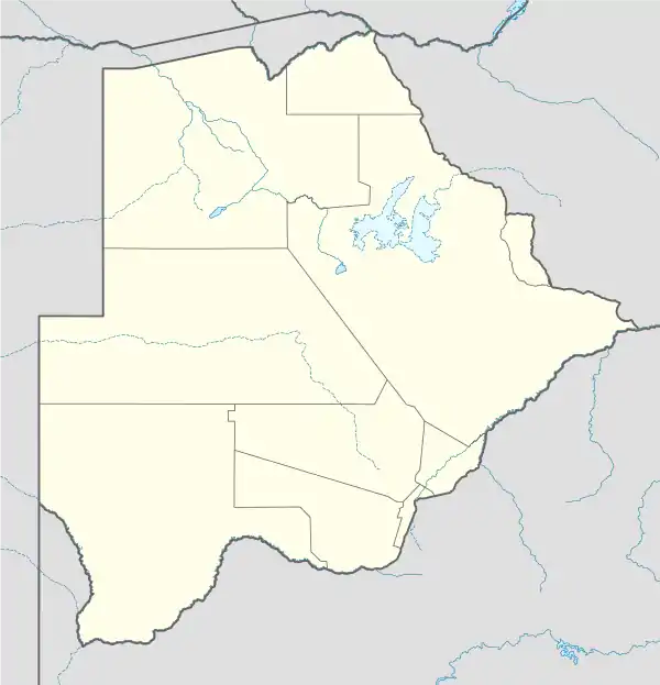 SVT Location of airport in Botswana | |||||||||||
| Runways | |||||||||||
| |||||||||||
Savuti Airport (IATA: SVT, ICAO: FBSV) is an airport serving the Chobe National Park in the North-West District of Botswana. The runway is 4.5 kilometres (2.8 mi) north of the village and campsites of Savuti.
See also
References
- ↑ Airport information for Savuti Airport at Great Circle Mapper.
- ↑ Google Maps - Savuti
External links
- OpenStreetMap - Savuti
- OurAirports - Savuti
- SkyVector - Savuti
- Accident history for Savuti Airport at Aviation Safety Network
This article is issued from Wikipedia. The text is licensed under Creative Commons - Attribution - Sharealike. Additional terms may apply for the media files.