Pečeňany | |
|---|---|
Municipality | |
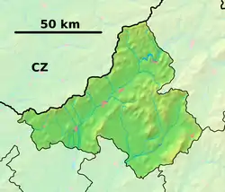 Pečeňany Location of Pečeňany in the Trenčín Region 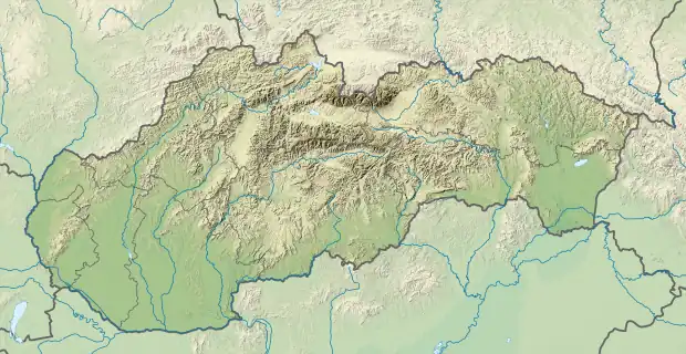 Pečeňany Pečeňany (Slovakia) | |
| Coordinates: 48°40′N 18°14′E / 48.667°N 18.233°E | |
| Country | Slovakia |
| Region | Trenčín |
| District | Bánovce nad Bebravou |
| First mentioned | 1323 |
| Area | |
| • Total | 6.626 km2 (2.558 sq mi) |
| Elevation | 190 m (620 ft) |
| Population | |
| • Total | 470 |
| • Density | 71/km2 (180/sq mi) |
| Postal code | 956 36 (pošta Rybany) |
| Area code | 421-38 |
| Car plate | BN |
| Website | obecpecenany.sk |
Pečeňany (Hungarian: Bánpecsenyéd) is a village and municipality in Bánovce nad Bebravou District in the Trenčín Region of north-western Slovakia.
History
In historical records the village was first mentioned in 1323.
Geography
The municipality lies at an altitude of 190 metres and covers an area of 6.626 km². It has a population of about 470 people.
External links
- Official page
- https://web.archive.org/web/20070513023228/http://www.statistics.sk/mosmis/eng/run.html
This article is issued from Wikipedia. The text is licensed under Creative Commons - Attribution - Sharealike. Additional terms may apply for the media files.