Potters Mills, Pennsylvania | |
|---|---|
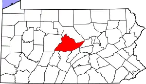
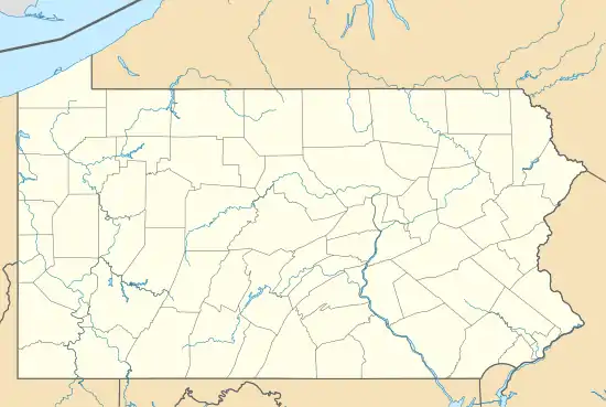 Potters Mills Location within the state of Pennsylvania | |
| Coordinates: 40°47′45″N 77°37′31″W / 40.79583°N 77.62528°W | |
| Country | United States |
| State | Pennsylvania |
| County | Centre |
| Township | Potter |
| Area | |
| • Total | 1.27 sq mi (3.30 km2) |
| • Land | 1.27 sq mi (3.30 km2) |
| • Water | 0.00 sq mi (0.00 km2) |
| Elevation | 1,253 ft (382 m) |
| Population | |
| • Total | 263 |
| • Density | 206.60/sq mi (79.74/km2) |
| Time zone | UTC-5 (Eastern (EST)) |
| • Summer (DST) | UTC-4 (EDT) |
| FIPS code | 42-62384 |
| GNIS feature ID | 1184344[3] |
Potters Mills is a hamlet in Potter Township, Centre County, Pennsylvania, United States, just east of the Potter-Allison Farm.[4] It is named after General James Potter (1729–1789), who built a log cabin and grist mill there, at what is now the intersection of General Potter Highway (U.S. Route 322) and the Old Fort Road (Pennsylvania Route 144).
Demographics
| Census | Pop. | Note | %± |
|---|---|---|---|
| 2020 | 263 | — | |
| U.S. Decennial Census[5] | |||
Notable person
- John Potter, Jr., Wisconsin legislator, was born in Potters Mills.[6]
References
- ↑ "ArcGIS REST Services Directory". United States Census Bureau. Retrieved October 16, 2022.
- ↑ "Census Population API". United States Census Bureau. Retrieved October 16, 2022.
- ↑ U.S. Geological Survey Geographic Names Information System: Potters Mills, Pennsylvania
- ↑ "Potter's Mills, Pennsylvania". Geographic Names Information System. United States Geological Survey, United States Department of the Interior.
- ↑ "Census of Population and Housing". Census.gov. Retrieved June 4, 2016.
- ↑ 'Wisconsin Blue Book 1879. Biographical Sketch of John Potter, Jr., pg. 508
This article is issued from Wikipedia. The text is licensed under Creative Commons - Attribution - Sharealike. Additional terms may apply for the media files.