Rousset | |
|---|---|
.JPG.webp) The church of Rousset | |
.svg.png.webp) Coat of arms | |
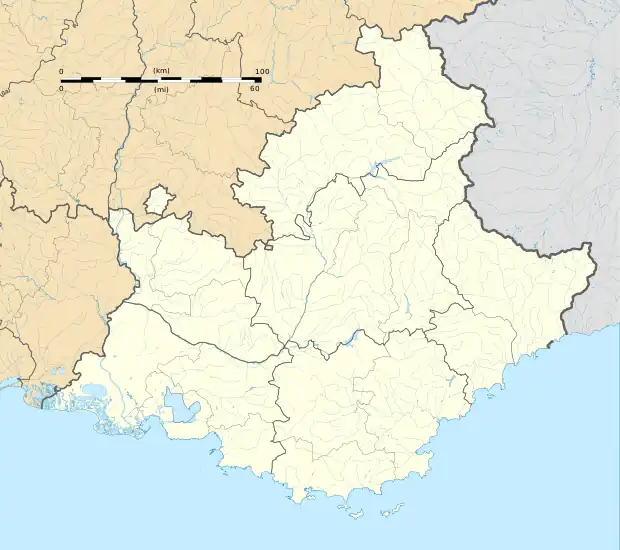
Location of Rousset | |
 Rousset  Rousset | |
| Coordinates: 43°28′52″N 5°37′19″E / 43.481°N 5.622°E | |
| Country | France |
| Region | Provence-Alpes-Côte d'Azur |
| Department | Bouches-du-Rhône |
| Arrondissement | Aix-en-Provence |
| Canton | Trets |
| Intercommunality | Aix-Marseille-Provence |
| Government | |
| • Mayor (2020–2026) | Jean-Louis Canal[1] |
| Area 1 | 19.50 km2 (7.53 sq mi) |
| Population | 5,209 |
| • Density | 270/km2 (690/sq mi) |
| Time zone | UTC+01:00 (CET) |
| • Summer (DST) | UTC+02:00 (CEST) |
| INSEE/Postal code | 13087 /13790 |
| Elevation | 196–480 m (643–1,575 ft) (avg. 224 m or 735 ft) |
| 1 French Land Register data, which excludes lakes, ponds, glaciers > 1 km2 (0.386 sq mi or 247 acres) and river estuaries. | |
Rousset (French pronunciation: [ʁusɛ]; Occitan: Rosset) is a commune in the Bouches-du-Rhône department in southern France close to Aix-en-Provence.
History
Although Rousset can be traced back to the Romans, the first written mention comes in a 1050 document, under the name of "Rosselun" or "roscetum rosetum".[3] In the Middle Ages, a castle as well as a church and chapels were built, as dwellings increased.[3]
In the 9th century, Rousset belonged to the Abbey of Saint-Victor,[3] then by 1143 the Knights Templar took over,[3] followed by the Knights of Malta in 1307.[3] In the 15th century, it belonged to Guillaume de Littera (1371-1452).[4]
Under the French Revolution, the castle was destroyed.[3]
The church was built in 1861.[3]
It is now home to a semiconductor fab and research center of STMicroelectronics and until 2014 also of another fab of LFoundry (originally set up by Atmel)
Cross of Provence
The fourth Croix de Provence on the Montagne Sainte-Victoire was erected in 1875, on the initiative of the parish priest of Rousset, Father Meissonnier, to ward off two evils: smallpox and the aftermath of the Franco-Prussian war of 1870.[5]
Population
|
| ||||||||||||||||||||||||||||||||||||||||||||||||||||||||||||||||||||||||||||||||||||||||||||||||||||||||||||||||||
| Source: EHESS[6] and INSEE (1968-2017)[7] | |||||||||||||||||||||||||||||||||||||||||||||||||||||||||||||||||||||||||||||||||||||||||||||||||||||||||||||||||||
Twin towns
See also
References
- ↑ "Répertoire national des élus: les maires" (in French). data.gouv.fr, Plateforme ouverte des données publiques françaises. 4 May 2022.
- ↑ "Populations légales 2021". The National Institute of Statistics and Economic Studies. 28 December 2023.
- 1 2 3 4 5 6 7 8 Site Officiel de la Mairie de Rousset sur Arc
- ↑ Aix-en-Provence Historical Society: Guillaume de Littera
- ↑ The Cross of Provence (La croix de Provence), in Sainte-Victoire, éd. Édisud / Association for reforestation and protection of Cengle-Sainte-Victoire, Aix-en-Provence, 1998, p. 93.
- ↑ Des villages de Cassini aux communes d'aujourd'hui: Commune data sheet Rousset, EHESS (in French).
- ↑ Population en historique depuis 1968, INSEE
External links