Saint-Romain | |
|---|---|
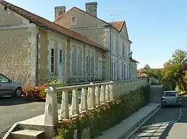 Former Town hall | |
Location of Saint-Romain | |
 Saint-Romain 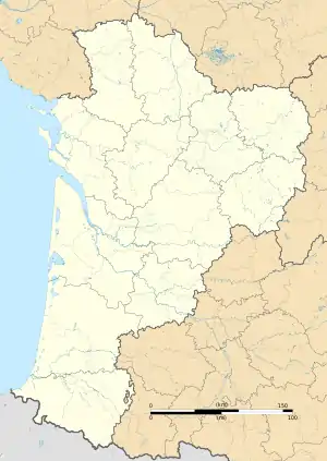 Saint-Romain | |
| Coordinates: 45°16′37″N 0°08′56″E / 45.2769°N 0.1489°E | |
| Country | France |
| Region | Nouvelle-Aquitaine |
| Department | Charente |
| Arrondissement | Angoulême |
| Canton | Tude-et-Lavalette |
| Government | |
| • Mayor (2020–2026) | Gilles Dupuy[1] |
| Area 1 | 22.69 km2 (8.76 sq mi) |
| Population | 511 |
| • Density | 23/km2 (58/sq mi) |
| Time zone | UTC+01:00 (CET) |
| • Summer (DST) | UTC+02:00 (CEST) |
| INSEE/Postal code | 16347 /16210 |
| Elevation | 54–168 m (177–551 ft) |
| 1 French Land Register data, which excludes lakes, ponds, glaciers > 1 km2 (0.386 sq mi or 247 acres) and river estuaries. | |
Saint-Romain (French pronunciation: [sɛ̃ ʁɔmɛ̃]) is a commune in the Charente department in southwestern France.
Geography
The commune is located in the south of the department, 1 km west of Aubeterre-sur-Dronne, 9 km north of Saint-Aulaye, 19 km west of Ribérac, 18 km south of Montmoreau and 48 km south of Angoulême.
In terms on surface area, Saint-Romain is the largest commune of its canton, spreading up to 200m of Aubeterre town center. The commune sits on a low Cretaceous limestone plateau.
No rivers traverse Saint-Romain, but two small tributaries have their sources there: the Beauronne which flows south-west into the Dronne river and a tributary of the Tude in the north, as well as the Écrevansou, a small spring that follows the commune's eastern limits.
Population
| Year | Pop. | ±% p.a. |
|---|---|---|
| 1968 | 506 | — |
| 1975 | 506 | +0.00% |
| 1982 | 460 | −1.35% |
| 1990 | 437 | −0.64% |
| 1999 | 512 | +1.78% |
| 2009 | 541 | +0.55% |
| 2014 | 567 | +0.94% |
| 2020 | 511 | −1.72% |
| Source: INSEE[3] | ||
The population is dispersed and the town has numerous hamlets and farms.
History
The oldest parish registers date back to 1660.
According to a 1747 inventory, another church existed in the commune, in the Villedieu hamlet. There was no trace of it by 1910.
In 1789, on the eve of the French Revolution, Saint-Romain, like many parishes, issued a list of grievances.
See also
References
- ↑ "Répertoire national des élus: les maires". data.gouv.fr, Plateforme ouverte des données publiques françaises (in French). 9 August 2021.
- ↑ "Populations légales 2021". The National Institute of Statistics and Economic Studies. 28 December 2023.
- ↑ Population en historique depuis 1968, INSEE