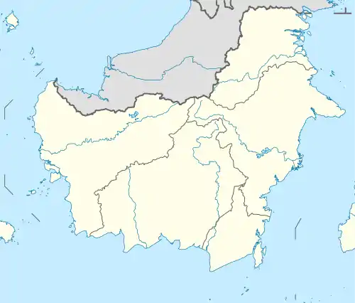
South Hulu Sungai Regency
Kabupaten Hulu Sungai Selatan | |
|---|---|
 Coat of arms | |
| Motto: Rakat Mufakat | |
 | |
 South Hulu Sungai Regency | |
| Coordinates: 2°47′S 115°16′E / 2.783°S 115.267°E | |
| Country | Indonesia |
| Province | South Kalimantan |
| Capital | Kandangan |
| Established | 1959 |
| Government | |
| • Regent | Drs. H. Achmad Fikry, M.AP |
| • Vice Regent | Syamsuri Arsyad, S.AP, MA |
| Area | |
| • Total | 1,804.94 km2 (696.89 sq mi) |
| Population (mid 2022 estimate) | |
| • Total | 232,212 |
| • Density | 130/km2 (330/sq mi) |
| [1] | |
| Time zone | UTC+8 (WITA) |
| Area code | +62 517 |
| Website | hulusungaiselatankab.go.id |

South Hulu Sungai Regency (kabupaten Hulu Sungai Selatan) is one of the regencies (kabupaten) in South Kalimantan province, Indonesia. It had an area of 1,804.94 km2, and a population of 212,485 at the 2010 Census[2] and 228,006 at the 2020 Census;[3] the official estimate as at mid 2022 was 232,212 (comprising 116,453 males and 115,757 females).[1] The capital of the regency is the town of Kandangan, which is famous for its culinary ketupat Kandangan.[4]
Administrative districts
South Hulu Sungai Regency is divided into eleven districts (kecamatan), tabulated below with their areas and their populations at the 2010 Census[2] and 2020 Census,[3] together with the official estimates as at mid 2022.[1] The table includes the locations of the district administrative centres, the number of administrative villages in each district (a total of 144 rural desa and 4 urban kelurahan - the latter all in Kandangan District), and its post code.
| Kode Wilayah | Name of District (kecamatan) | Area in km2 | Pop'n Census 2010 | Pop'n Census 2020 | Pop'n Estimate mid 2022 | Admin centre | No. of villages | Post code |
|---|---|---|---|---|---|---|---|---|
| 63.06.02 | Padang Batung | 203.93 | 19,497 | 21,424 | 21,918 | Padang Batung | 17 | 71281 |
| 63.06.10 | Loksado | 338.89 | 8,173 | 8,454 | 8,548 | Loksado | 11 | 71282 |
| 63.06.03 | Telaga Langsat | 58.08 | 8,950 | 10,199 | 10,508 | Mandala | 11 | 71292 |
| 63.06.04 | Angkinang | 58.40 | 16,730 | 18,561 | 19,024 | Angkinang Selatan | 11 | 71291 |
| 63.06.05 | Kandangan | 106.71 | 46,294 | 48,866 | 49,604 | Kandangan Kota | 18 (a) | 71211 -71217 |
| 63.06.01 | Sungai Raya | 80.96 | 16,105 | 18,047 | 18,533 | Sungai Raya | 18 | 71271 |
| 63.06.06 | Simpur | 82.35 | 13,872 | 15,222 | 15,568 | Simpur | 11 | 71261 |
| 63.06.09 | Kalumpang | 135.07 | 6,002 | 6,522 | 6,658 | Kalumpang | 9 | 71262 |
| 63.06.07 | Daha Selatan (South Daha) | 322.82 | 39,348 | 40,802 | 41,276 | Bayanan | 16 | 71251 |
| 63.06.11 | Daha Barat (West Daha) | 149.62 | 7,230 | 7,974 | 8,164 | Bajayau | 7 | 71252 |
| 63.06.08 | Daha Utara (North Utara) | 268.11 | 30,284 | 31,935 | 32,411 | Tambak Bitin | 19 | 71253 |
| Totals | 1,804.94 | 212,485 | 228,006 | 232,212 | Kandangan | 148 |
Notes: (a) includes 4 kelurahan - Jambu Hilir, Kandangan Barat, Kandangan Kota and Kandangan Utara.
References
External links