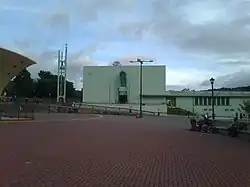
Tres Ríos | |
|---|---|
 Tres Ríos church | |
Tres Ríos district | |
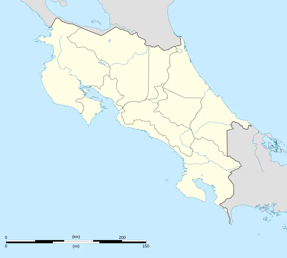
 Tres Ríos Tres Ríos district location in Costa Rica | |
| Coordinates: 9°54′26″N 83°59′11″W / 9.907172°N 83.9864611°W | |
| Country | |
| Province | Cartago |
| Canton | La Unión |
| Area | |
| • Total | 2.19 km2 (0.85 sq mi) |
| Elevation | 1,345 m (4,413 ft) |
| Population (2011) | |
| • Total | 9,331 |
| • Density | 4,300/km2 (11,000/sq mi) |
| Time zone | UTC−06:00 |
| Postal code | 30301 |
Tres Ríos (lit. 'Three Rivers') is a district of the La Unión canton, in the Cartago province of Costa Rica.[1][2] Its name is derived from its location at the confluence of the Tiribí, Chiquito and Cruz rivers.
According to the 2011 census, Tres Ríos had a population of 9,331 inhabitants.[3] The district has an area of 2.19 km²[4] and an elevation of 1,345 metres.[1]
History
During the pre-Columbian era, the region of La Unión was part of the Eastern Huetar Kingdom and was inhabited by the Huetar people. At the time of the arrival of Spanish conquistadores, the region's chief was Correque.
Significant colonial settlement of the region did not take place until the 18th century when priests from the Church of the Holy Spirit of Esparza settled in the area. The priests had been traveling with indigenous peoples from the Salamanca region towards Cartago and stopped in what was then known as the Valley of Three Rivers (Spanish: Valle de los Tres Ríos). The priests built a small chapel which they dedicated to the Our Lady of the Pillar, whose image had been given to them by Bishop Heredia. Their presence in the area attracted permanent settlement and a stable population, and the fledgling town became known as Nuestra Señora del Pilar de los Tres Ríos (English: Our Lady of the Pillar of the Three Rivers).
Infrastructure
Education
Tres Ríos has one school, the Escuela Central de Tres Ríos.
| Historical population | |||
|---|---|---|---|
| Census | Pop. | %± | |
| 1883 | 852 | — | |
| 1892 | 1,077 | 26.4% | |
| 1927 | 1,540 | 43.0% | |
| 1950 | 2,837 | 84.2% | |
| 1963 | 4,694 | 65.5% | |
| 1973 | 6,804 | 45.0% | |
| 1984 | 8,661 | 27.3% | |
| 2000 | 10,009 | 15.6% | |
| 2011 | 9,331 | −6.8% | |
|
Instituto Nacional de Estadística y Censos[5] |
|||
Road transportation
The district is covered by the following road routes:
Rail transportation
The district is covered by the passenger Interurbano Line operated by Incofer. There is an unmanned platform stop in the north of the district at Plaza Barcelona shopping center.
Economy
The agricultural area surrounding Tres Ríos is one of the eight recognized coffee production areas in the country. The regional coffee flavor is associated with high fertility soil that is enriched by minerals from eruptions of the Irazú Volcano. The volcano last erupted in 1963. This flavor is balanced by moisture from the rain and warm summers.[7][8]
Due to dynamic urban growth in the metropolitan area of Costa Rica in the late twentieth century, the land use has progressively changed from agricultural to suburban development. The expansion of urban areas has force the closure of dozens of coffee farms. However, regions within La Unión, including Tres Ríos, Concepción and San Ramón, continue to grow coffee beans for the gourmet market.
The economy of Tres Ríos has become increasingly diversified and is no longer solely dependent on coffee production. Because of the region's location between the cities of San José and Cortago, the economy has become linked to their outward development and now caters towards trade and development. Urban development has also led to the foundation of several private schools.[7]
External links
References
- 1 2 "Declara oficial para efectos administrativos, la aprobación de la División Territorial Administrativa de la República N°41548-MGP". Sistema Costarricense de Información Jurídica (in Spanish). 19 March 2019. Retrieved 26 September 2020.
- ↑ División Territorial Administrativa de la República de Costa Rica (PDF) (in Spanish). Editorial Digital de la Imprenta Nacional. 8 March 2017. ISBN 978-9977-58-477-5.
- ↑ "Censo. 2011. Población total por zona y sexo, según provincia, cantón y distrito". Instituto Nacional de Estadística y Censos (in Spanish). Retrieved 26 September 2020.
- ↑ "Área en kilómetros cuadrados, según provincia, cantón y distrito administrativo". Instituto Nacional de Estadística y Censos (in Spanish). Retrieved 26 September 2020.
- ↑ "Instituto Nacional de Estadística y Censos" (in Spanish).
- ↑ "Sistema de Consulta de a Bases de Datos Estadísticas". Centro Centroamericano de Población (in Spanish).
- 1 2 "Coffee From The Tres Rios Region of Costa Rica". Retrieved 2013-05-23.
- ↑ "Tres Ríos". ICAFE. Retrieved 30 September 2020.