Untersulmetingen | |
|---|---|
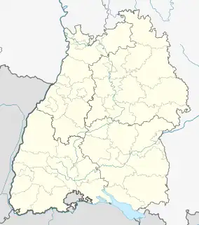
Location of Untersulmetingen | |
 Untersulmetingen  Untersulmetingen | |
| Coordinates: 48°13′49″N 9°49′44″E / 48.23028°N 9.82889°E | |
| Country | Germany |
| State | Baden-Württemberg |
| Admin. region | Tübingen |
| District | Biberach |
| Town | Laupheim |
| Elevation | 497 m (1,631 ft) |
| Population (2018)[1] | |
| • Total | 2,071 |
| Time zone | UTC+01:00 (CET) |
| • Summer (DST) | UTC+02:00 (CEST) |
| Postal codes | 88471 |
| Dialling codes | 07392 |
Untersulmetingen is a village which is part of the municipality of Laupheim, in the state of Baden-Württemberg, Germany.
Geography
Besides the village itself, the hamlets Westerflach and Niederkirch belong to its administration. Most of Untersulmetingen is located to the west of the river Riss which flows into the river Danube about 9 kilometres to the north of the village. Untersulmetingen Castle is situated in the village.
History
The first documentary evidence of Sulmetingen dates from 853.[2] Sulmetingen was divided into Untersulmetingen and its neighbour village Obersulmetingen in 1441.[3]
References
- ↑ Laupheim municipality website
- ↑ "Geschichte von Untersulmetingen". Retrieved 2018-04-09.
- ↑ "Website of the local parish".
External links
- Official web page on the website of Laupheim (in German)
This article is issued from Wikipedia. The text is licensed under Creative Commons - Attribution - Sharealike. Additional terms may apply for the media files.