Ōji
王寺町 | |
|---|---|
Town | |
 Oji Station | |
 Flag  Chapter | |
 Location of Ōji in Nara Prefecture | |
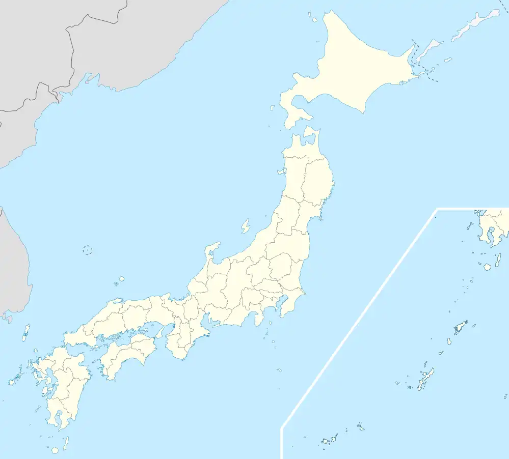 Ōji Location in Japan | |
| Coordinates: 34°36′N 135°43′E / 34.600°N 135.717°E | |
| Country | Japan |
| Region | Kansai |
| Prefecture | Nara Prefecture |
| District | Kitakatsuragi |
| Area | |
| • Total | 7.00 km2 (2.70 sq mi) |
| Population (April 1, 2015) | |
| • Total | 22,791 |
| • Density | 3,300/km2 (8,400/sq mi) |
| Time zone | UTC+09:00 (JST) |
| Website | www |
Ōji (王寺町, Ōji-chō) is a town located in Kitakatsuragi District, Nara Prefecture, Japan.
As of April 1, 2015, the town has an estimated population of 22,791 and 9,771 households, and a density of around 3,000 people per km².[1] The total area is 7.00 km².
Cultural sites
Transportation
Rail
- West Japan Railway Company
- Kansai Main Line (Yamatoji Line): Ōji Station
- Wakayama Line: Oji Station - Hatakeda Station
- Kintetsu Railway
- Ikoma Line: Oji Station
- Tawaramoto Line: Shin-Ōji Station
Road
References
- ↑ "市町村別推計人口・世帯数". Nara Prefecture. April 1, 2015. Retrieved May 8, 2015.
External links
 Media related to Ōji, Nara at Wikimedia Commons
- Town of Ōji (in Japanese)
| Core city | ||
|---|---|---|
| Cities | ||
| Districts | ||
This article is issued from Wikipedia. The text is licensed under Creative Commons - Attribution - Sharealike. Additional terms may apply for the media files.