Kawai
河合町 | |
|---|---|
Town | |
 Flag  Chapter | |
 Location of Kawai in Nara Prefecture | |
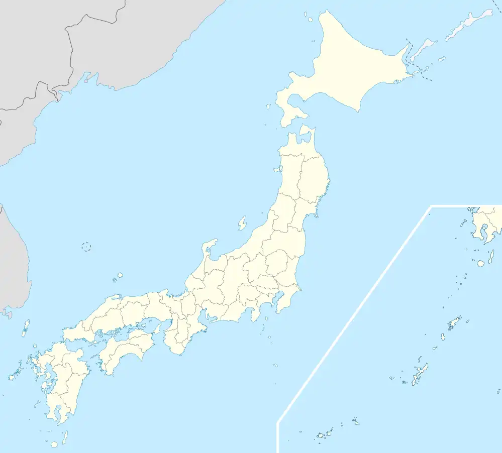 Kawai Location in Japan | |
| Coordinates: 34°35′N 135°44′E / 34.583°N 135.733°E | |
| Country | Japan |
| Region | Kansai |
| Prefecture | Nara Prefecture |
| District | Kitakatsuragi |
| Area | |
| • Total | 8.27 km2 (3.19 sq mi) |
| Population (April 1, 2015) | |
| • Total | 17,831 |
| • Density | 2,200/km2 (5,600/sq mi) |
| Time zone | UTC+09:00 (JST) |
| Website | www |
Kawai (河合町, Kawai-chō) is a town located in Kitakatsuragi District, Nara Prefecture, Japan. As of April 1, 2015, the town has an estimated population of 17,831, and 7,775 households, with a density of around 2,200 persons per km2.[1] The total area is 8.27 km2.
Education
Public schools:
- Kawaidaiichi (Kawai No. 1) Elementary School
- Kawaidaini (Kawai No. 2) Elementary School
- Kawaidaisan (Kawai No. 3) Elementary School
- Kawaidaiichi Junior High School
- Kawaidaini Junior High School
Private schools:
Transportation
Rail
Road
- Expressways
- Nishi-Meihan Expressway: Hōryūji Interchange
Sister cities
References
- ↑ "市町村別推計人口・世帯数". Nara Prefecture. April 1, 2015. Archived from the original on May 18, 2015. Retrieved May 5, 2015.
- ↑ Home page. Nishiyamato Gakuen Junior and Senior High School. Retrieved on March 7, 2014. "Kusurii 295, Kawai-cho, Nara 636-0082, Japan" - Address in Japanese: "〒636-0082 奈良県河合町薬井295"
External links
 Media related to Kawai, Nara at Wikimedia Commons
- Kawai official website (in Japanese)
| Core city | ||
|---|---|---|
| Cities | ||
| Districts | ||
This article is issued from Wikipedia. The text is licensed under Creative Commons - Attribution - Sharealike. Additional terms may apply for the media files.