Ōyodo
大淀町 | |
|---|---|
Town | |
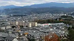 View of Oyodo Town | |
 Flag  Chapter | |
 Location of Ōyodo in Nara Prefecture | |
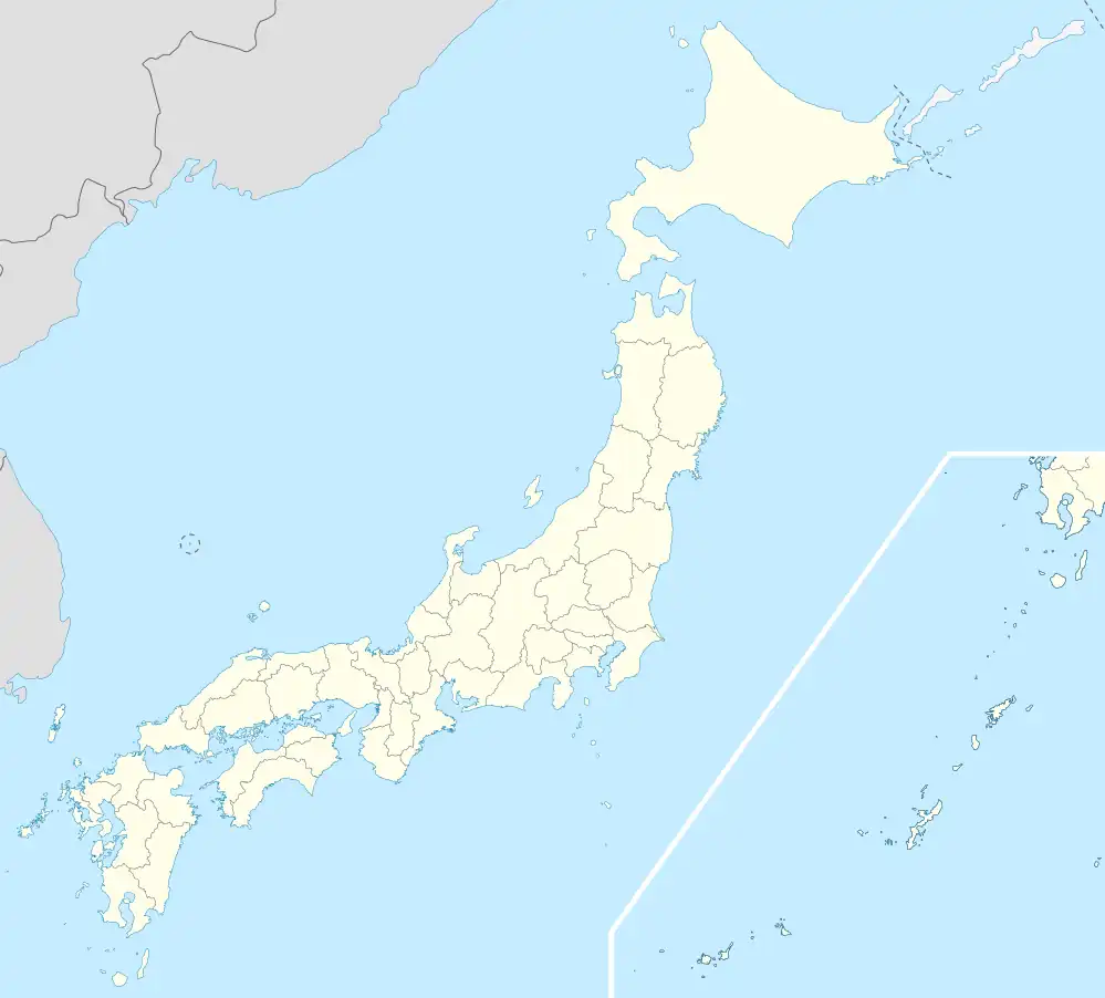 Ōyodo Location in Japan | |
| Coordinates: 34°23′N 135°47′E / 34.383°N 135.783°E | |
| Country | Japan |
| Region | Kansai |
| Prefecture | Nara Prefecture |
| District | Yoshino |
| Government | |
| • Mayor | Morimasa Okashita |
| Area | |
| • Total | 38.06 km2 (14.70 sq mi) |
| Population (October 1, 2016) | |
| • Total | 17,731 |
| • Density | 470/km2 (1,200/sq mi) |
| Time zone | UTC+09:00 (JST) |
| City hall address | 2090 Hinokakimoto, Ōyodo-machi, Nara-ken 638-8501 |
| Website | www |
| Symbols | |
| Flower | Pyrus pyrifolia |
| Tree | Cyclobalanopsis glauca |
Ōyodo (大淀町, Ōyodo-chō) is a town located in Yoshino District, Nara Prefecture, Japan.[1][2]
As of October 1, 2016, the town has an estimated population of 17,731 and a density of 470 persons per km². The total area is 38.06 km².
Surrounding municipalities
History
- 1889 - Ōyodo village is created.
- 1921 - Ōyodo village is renamed Ōyodo town.
- 1952 - Ōada village is merged into Ōyodo town.
Education
- Primary schools
- Ōyodo Sakuragaoka Elementary School
- Ōyodo Midorigaoka Elementary School
- Ōyodo Kibougaoka Elementary School
- Junior high schools
- Ōyodo Junior High School
- High schools
- Ōyodo High School
Transportation
Railway
Highways
References
- ↑ "大淀町/奈良県公式ホームページ". www.pref.nara.jp. Retrieved 2022-10-22.
- ↑ "大淀町が「まちのみらいを考える住民説明会」 町民から厳しい指摘も|奈良新聞デジタル". www.nara-np.co.jp (in Japanese). Retrieved 2022-10-22.
External links
 Media related to Ōyodo, Nara at Wikimedia Commons
- Ōyodo official website (in Japanese)
| Core city | ||
|---|---|---|
| Cities | ||
| Districts | ||
This article is issued from Wikipedia. The text is licensed under Creative Commons - Attribution - Sharealike. Additional terms may apply for the media files.