Amherst Airport | |||||||||||
|---|---|---|---|---|---|---|---|---|---|---|---|
| Summary | |||||||||||
| Airport type | |||||||||||
| Operator | |||||||||||
| Location | Amherst, Nova Scotia | ||||||||||
| Time zone | AST (UTC−04:00) | ||||||||||
| • Summer (DST) | ADT (UTC−03:00) | ||||||||||
| Elevation AMSL | 80 ft / 24 m | ||||||||||
| Coordinates | 45°48′49″N 064°14′09″W / 45.81361°N 64.23583°W | ||||||||||
| Map | |||||||||||
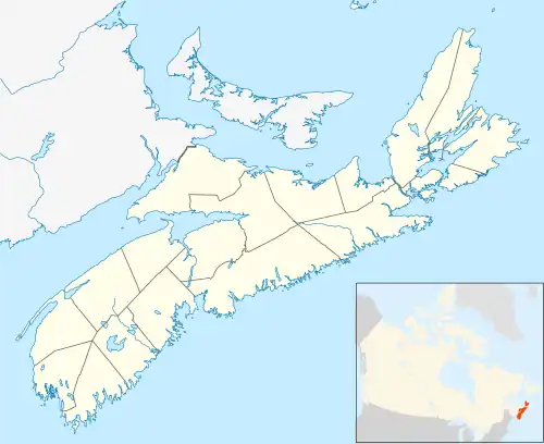 CCQ4 Location in Nova Scotia | |||||||||||
| Runways | |||||||||||
| |||||||||||
Source: Canada Flight Supplement[1] | |||||||||||
Amherst Airport (TC LID: CCQ4) is an abandoned airport that was located 1 NM (1.9 km; 1.2 mi) west of Amherst, Nova Scotia, Canada. It was a small turf airstrip, located perpendicular to Highway 104 opposite the Amherst Industrial Park.
History
Aerodrome
In approximately 1942 a Department of Transport Aerodrome was listed at 45°49′N 64°13′W / 45.817°N 64.217°W with a Var. 24 degrees W and elevation of 75 feet (23 m). The field was listed as "turf" and had one runway listed as follows:[2]
| Runway name | Length | Width | Surface |
|---|---|---|---|
| 8/26 | 3,700 feet (1,128 m) | 500 feet (152 m) | Turf |
Current
The airport was listed as abandoned as of 8 June 2006.
References
- Staff writer (c. 1942). Pilots Handbook of Aerodromes and Seaplane Bases Vol. 1. Royal Canadian Air Force.
| By name | |
|---|---|
| By location indicator | |
| By province/territory | |
| By area | |
| National Airports System | |
| Related | |
| |
This article is issued from Wikipedia. The text is licensed under Creative Commons - Attribution - Sharealike. Additional terms may apply for the media files.