Andrew Airport | |||||||||||
|---|---|---|---|---|---|---|---|---|---|---|---|
| Summary | |||||||||||
| Airport type | Public | ||||||||||
| Operator | Village of Andrew | ||||||||||
| Location | Lamont County, near Andrew, Alberta | ||||||||||
| Time zone | MST (UTC−07:00) | ||||||||||
| • Summer (DST) | MDT (UTC−06:00) | ||||||||||
| Elevation AMSL | 2,060 ft / 628 m | ||||||||||
| Coordinates | 53°52′26″N 112°21′28″W / 53.87389°N 112.35778°W | ||||||||||
| Map | |||||||||||
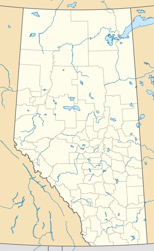 CEJ2 Location in Alberta | |||||||||||
| Runways | |||||||||||
| |||||||||||
Source: Canada Flight Supplement[1] | |||||||||||
Andrew Airport (TC LID: CEJ2) was located 1 NM (1.9 km; 1.2 mi) northwest of Andrew, Alberta, Canada. The airport is permanently closed.
References
External links
- Place to Fly on COPA's Places to Fly airport directory
| By name | |
|---|---|
| By location indicator | |
| By province/territory | |
| By area | |
| National Airports System | |
| Related | |
| |
This article is issued from Wikipedia. The text is licensed under Creative Commons - Attribution - Sharealike. Additional terms may apply for the media files.