Dourdain
| |
|---|---|
_Mairie.jpg.webp) Town hall | |
Location of Dourdain | |
 Dourdain 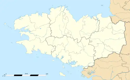 Dourdain | |
| Coordinates: 48°11′38″N 1°22′06″W / 48.1939°N 1.3683°W | |
| Country | France |
| Region | Brittany |
| Department | Ille-et-Vilaine |
| Arrondissement | Rennes |
| Canton | Liffré |
| Intercommunality | Liffré-Cormier Communauté |
| Government | |
| • Mayor (2020–2026) | Isabelle Courtigné[1] |
| Area 1 | 13.80 km2 (5.33 sq mi) |
| Population | 1,224 |
| • Density | 89/km2 (230/sq mi) |
| Time zone | UTC+01:00 (CET) |
| • Summer (DST) | UTC+02:00 (CEST) |
| INSEE/Postal code | 35101 /35450 |
| Elevation | 52–112 m (171–367 ft) |
| 1 French Land Register data, which excludes lakes, ponds, glaciers > 1 km2 (0.386 sq mi or 247 acres) and river estuaries. | |
Dourdain (French pronunciation: [duʁdɛ̃]; Breton: Dourdan; Gallo: Dórdaen) is a commune in the Ille-et-Vilaine department in Brittany in northwestern France.
Population
Inhabitants of Dourdain are called Dourdanais in French.
| Year | Pop. | ±% |
|---|---|---|
| 1962 | 658 | — |
| 1968 | 680 | +3.3% |
| 1975 | 588 | −13.5% |
| 1982 | 560 | −4.8% |
| 1990 | 594 | +6.1% |
| 1999 | 706 | +18.9% |
| 2008 | 1,026 | +45.3% |
See also
References
- ↑ "Répertoire national des élus: les maires" (in French). data.gouv.fr, Plateforme ouverte des données publiques françaises. 13 September 2022.
- ↑ "Populations légales 2021". The National Institute of Statistics and Economic Studies. 28 December 2023.
External links
Wikimedia Commons has media related to Dourdain.
- Mayors of Ille-et-Vilaine Association Archived 2012-01-14 at the Wayback Machine (in French)
This article is issued from Wikipedia. The text is licensed under Creative Commons - Attribution - Sharealike. Additional terms may apply for the media files.