Trimer
| |
|---|---|
_%C3%89glise.jpg.webp) The church in Trimer | |
Location of Trimer | |
 Trimer 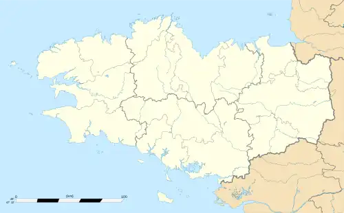 Trimer | |
| Coordinates: 48°20′29″N 1°53′33″W / 48.3414°N 1.8925°W | |
| Country | France |
| Region | Brittany |
| Department | Ille-et-Vilaine |
| Arrondissement | Saint-Malo |
| Canton | Combourg |
| Intercommunality | CC Bretagne Romantique |
| Government | |
| • Mayor (2020–2026) | Christophe Baot[1] |
| Area 1 | 3.56 km2 (1.37 sq mi) |
| Population | 206 |
| • Density | 58/km2 (150/sq mi) |
| Time zone | UTC+01:00 (CET) |
| • Summer (DST) | UTC+02:00 (CEST) |
| INSEE/Postal code | 35346 /35190 |
| Elevation | 29–87 m (95–285 ft) |
| 1 French Land Register data, which excludes lakes, ponds, glaciers > 1 km2 (0.386 sq mi or 247 acres) and river estuaries. | |
Trimer (Breton: Tremeur) is a commune in the Ille-et-Vilaine department of Brittany in northwestern France.
Population
| Year | Pop. | ±% |
|---|---|---|
| 1962 | 131 | — |
| 1968 | 152 | +16.0% |
| 1975 | 131 | −13.8% |
| 1982 | 111 | −15.3% |
| 1990 | 102 | −8.1% |
| 1999 | 102 | +0.0% |
| 2009 | 176 | +72.5% |
See also
References
- ↑ "Répertoire national des élus: les maires". data.gouv.fr, Plateforme ouverte des données publiques françaises (in French). 9 August 2021.
- ↑ "Populations légales 2021". The National Institute of Statistics and Economic Studies. 28 December 2023.
External links
Wikimedia Commons has media related to Trimer.
- Base Mérimée: Search for heritage in the commune, Ministère français de la Culture. (in French)
- Mayors of Ille-et-Vilaine Association (in French)
This article is issued from Wikipedia. The text is licensed under Creative Commons - Attribution - Sharealike. Additional terms may apply for the media files.