Saint-Péran
| |
|---|---|
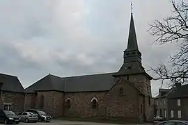 The church of Saint-Péran | |
Location of Saint-Péran | |
 Saint-Péran 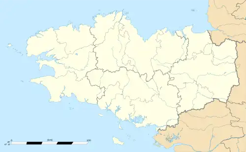 Saint-Péran | |
| Coordinates: 48°03′19″N 2°03′18″W / 48.0553°N 2.0550°W | |
| Country | France |
| Region | Brittany |
| Department | Ille-et-Vilaine |
| Arrondissement | Rennes |
| Canton | Montfort-sur-Meu |
| Intercommunality | CC de Brocéliande |
| Government | |
| • Mayor (2020–2026) | Isabelle Goven[1] |
| Area 1 | 9.37 km2 (3.62 sq mi) |
| Population | 414 |
| • Density | 44/km2 (110/sq mi) |
| Time zone | UTC+01:00 (CET) |
| • Summer (DST) | UTC+02:00 (CEST) |
| INSEE/Postal code | 35305 /35380 |
| Elevation | 84–160 m (276–525 ft) |
| 1 French Land Register data, which excludes lakes, ponds, glaciers > 1 km2 (0.386 sq mi or 247 acres) and river estuaries. | |
Saint-Péran (French pronunciation: [sɛ̃ peʁɑ̃]; Breton: Sant-Pêran; Gallo: Saent-Peran) is a commune in the Ille-et-Vilaine department in Brittany in northwestern France.
Population
Inhabitants of Saint-Péran are called saint-péranais in French.
| Year | Pop. | ±% |
|---|---|---|
| 1962 | 208 | — |
| 1968 | 209 | +0.5% |
| 1975 | 168 | −19.6% |
| 1982 | 160 | −4.8% |
| 1990 | 169 | +5.6% |
| 1999 | 196 | +16.0% |
| 2009 | 336 | +71.4% |
See also
References
- ↑ "Répertoire national des élus: les maires". data.gouv.fr, Plateforme ouverte des données publiques françaises (in French). 9 August 2021.
- ↑ "Populations légales 2021". The National Institute of Statistics and Economic Studies. 28 December 2023.
External links
Wikimedia Commons has media related to Saint-Péran.
- Official website (in French)
- Mayors of Ille-et-Vilaine Association (in French)
This article is issued from Wikipedia. The text is licensed under Creative Commons - Attribution - Sharealike. Additional terms may apply for the media files.