Huntsville/Deerhurst Resort Airport (closed/abandoned) | |||||||||||
|---|---|---|---|---|---|---|---|---|---|---|---|
| Summary | |||||||||||
| Airport type | |||||||||||
| Operator | |||||||||||
| Location | Huntsville, Ontario | ||||||||||
| Time zone | EST (UTC−05:00) | ||||||||||
| • Summer (DST) | EDT (UTC−04:00) | ||||||||||
| Elevation AMSL | 1,029 ft / 314 m | ||||||||||
| Coordinates | 45°21′15″N 079°09′05″W / 45.35417°N 79.15139°W | ||||||||||
| Map | |||||||||||
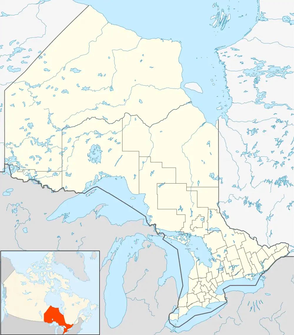 CDH1 Location in Ontario | |||||||||||
| Runways | |||||||||||
| |||||||||||
Source: Canada Flight Supplement[1] | |||||||||||
Huntsville/Deerhurst Resort Airport (TC LID: CDH1) was located 4 NM (7.4 km; 4.6 mi) northeast of Huntsville, Ontario, Canada.
Airfield buildings still stand, but the runway is marked with X on either end to indicate that it is now closed.
See also
References
| By name | |
|---|---|
| By location indicator | |
| By province/territory | |
| By area | |
| National Airports System | |
| Related | |
| |
This article is issued from Wikipedia. The text is licensed under Creative Commons - Attribution - Sharealike. Additional terms may apply for the media files.