Kahntah Aerodrome | |||||||||||
|---|---|---|---|---|---|---|---|---|---|---|---|
| Summary | |||||||||||
| Airport type | |||||||||||
| Operator | |||||||||||
| Location | Kahntah, British Columbia | ||||||||||
| Time zone | PST (UTC−08:00) | ||||||||||
| • Summer (DST) | PDT (UTC−07:00) | ||||||||||
| Elevation AMSL | 1,568 ft / 478 m | ||||||||||
| Coordinates | 58°02′30″N 120°54′34″W / 58.04167°N 120.90944°W | ||||||||||
| Map | |||||||||||
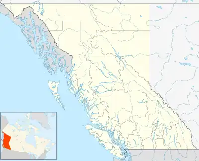 CKN3 Location in British Columbia | |||||||||||
| Runways | |||||||||||
| |||||||||||
Source: Canada Flight Supplement[1] | |||||||||||
Kahntah Aerodrome (TC LID: CKN3) was an aerodrome located 19 NM (35 km; 22 mi) south of Kahntah, British Columbia, Canada.
References
| By name | |
|---|---|
| By location indicator | |
| By province/territory | |
| By area | |
| National Airports System | |
| Related | |
| |
This article is issued from Wikipedia. The text is licensed under Creative Commons - Attribution - Sharealike. Additional terms may apply for the media files.