Little Current Water Aerodrome | |||||||||||
|---|---|---|---|---|---|---|---|---|---|---|---|
| Summary | |||||||||||
| Airport type | |||||||||||
| Operator | |||||||||||
| Location | Little Current, Ontario | ||||||||||
| Time zone | EST (UTC−05:00) | ||||||||||
| • Summer (DST) | EDT (UTC−04:00) | ||||||||||
| Elevation AMSL | 581 ft / 177 m | ||||||||||
| Coordinates | 45°59′02″N 081°57′31″W / 45.98389°N 81.95861°W | ||||||||||
| Map | |||||||||||
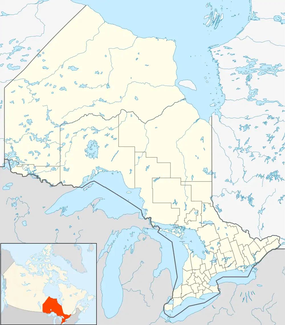 CNZ9 Location in Ontario | |||||||||||
| Runways | |||||||||||
| |||||||||||
Source: Water Aerodrome Supplement[1] | |||||||||||
Little Current Water Aerodrome (TC LID: CNZ9) was an aerodrome located in the town of Northeastern Manitoulin and the Islands, Ontario, Canada, 1 nautical mile (1.9 km; 1.2 mi) west of the community of Little Current and east of Mackay's Bay. The aerodrome was accessed from private drive off North Channel Drive.
References
| By name | |
|---|---|
| By location indicator | |
| By province/territory | |
| By area | |
| National Airports System | |
| Related | |
| |
This article is issued from Wikipedia. The text is licensed under Creative Commons - Attribution - Sharealike. Additional terms may apply for the media files.